UN
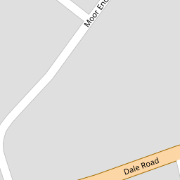
4 Moor End
£ 208,000
Description
We don't have a Description for this property.
- Bedrooms
- 3
- Bathrooms
- 0


Leaflet © OpenStreetMap contributors
The heatmap indicates the level of crime in the area. The color of the heatmap indicates the crime severity and recency.
Metrics Year-on-Year
- Average area value
- 376,338.00 £Increased by 8.40 %
- Average area rental value
- 1,329.00 £/moDecreased by 6.93 %
- Est rental Yield
- 4.24 %Decreased by 14.17 %
- Crime Rate
- 6.00 %Unchanged by 0.00 %
from 347,169.00 £
from 1,428.00 £/mo
from 4.94 %
from 6.00 %
Nearby Schools
| Name | Type | Ofsted | Distance |
|---|---|---|---|
| Borrow Wood Primary School | Academy Converter | 0.46 KM | |
| Asterdale Primary School | Academy Converter | 1.27 KM | |
| St Werburgh'S Cofe Primary School | Academy Converter | 1.36 KM | |
| Springfield Primary School | Academy Converter | 1.40 KM | |
| Spondon Children'S Centre | Children's Centre | 1.49 KM |
Images
Nearby Streets
| Name | Average Price | Average Sqft | Distance |
|---|---|---|---|
| Glendale Drive | £ 360,000 | 0 | 0.00 KM |
| Rudyard Avenue | £ 250,000 | 0 | 0.00 KM |
| Stone Close | £ 235,000 | 0 | 0.00 KM |
| Hamilton Road | £ 210,000 | 0 | 0.00 KM |
| Gladstone Road | £ 216,250 | 0 | 0.00 KM |
Nearby Transport
| Name | NLC | TLC | Distance |
|---|---|---|---|
| Spondon | 1699 | SPO | 1.88 KM |
| Derby | 1823 | DBY | 7.19 KM |
| Peartree | 1687 | PEA | 8.76 KM |
Nearby Listings
| Address | Price | Type | Score | Distance |
|---|---|---|---|---|
| Moor End, Spondon, Derby, Derbyshire, DE21 | £ 275,000 | BUY | 6 / 10 | 0.03 KM |
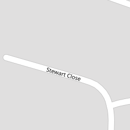
| Stewart Close, Spondon | £ 290,000 | BUY | 6 / 10 | 0.04 KM |
| Stewart Close, Spondon | £ 240,000 | BUY | 5 / 10 | 0.05 KM |
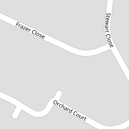
| Frazer Close, Spondon, Derby | £ 250,000 | BUY | 7 / 10 | 0.22 KM |
| Moor End, Spondon, Derby | £ 260,000 | BUY | Unknown | 0.23 KM |
Nearby Properties
| Address | Price | Distance |
|---|---|---|
| 47 Moor End | £ 227,500 | 0.00 KM |
| 44a Moor End | £ 52,560 | 0.00 KM |
| 21 Moor End | £ 230,000 | 0.00 KM |
| 4 Moor End | £ 208,000 | 0.00 KM |
| 18 Moor End | £ 135,000 | 0.00 KM |