UN
73 Moor End
£ 179,950
Description
We don't have a Description for this property.
- Bedrooms
- 4
- Bathrooms
- 0
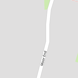


Leaflet © OpenStreetMap contributors
The heatmap indicates the level of crime in the area. The color of the heatmap indicates the crime severity and recency.
Metrics Year-on-Year
- Average area value
- 376,338.00 £Increased by 8.40 %
- Average area rental value
- 1,329.00 £/moDecreased by 6.93 %
- Est rental Yield
- 4.24 %Decreased by 14.17 %
- Crime Rate
- 0.00 %
from 347,169.00 £
from 1,428.00 £/mo
from 4.94 %
from 0.00 %
Nearby Schools
| Name | Type | Ofsted | Distance |
|---|---|---|---|
| Borrow Wood Primary School | Academy Converter | 0.54 KM | |
| Asterdale Primary School | Academy Converter | 1.39 KM | |
| Springfield Primary School | Academy Converter | 1.54 KM | |
| St Werburgh'S Cofe Primary School | Academy Converter | 1.55 KM | |
| Spondon Children'S Centre | Children's Centre | 1.63 KM |
Images
Nearby Streets
| Name | Average Price | Average Sqft | Distance |
|---|---|---|---|
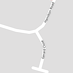
| Hamilton Road | £ 210,000 | 0 | 0.00 KM |
| Stone Close | £ 235,000 | 0 | 0.00 KM |
| Rudyard Avenue | £ 250,000 | 0 | 0.00 KM |
| Glendale Drive | £ 360,000 | 0 | 0.00 KM |
| Gladstone Road | £ 216,250 | 0 | 0.00 KM |
Nearby Transport
| Name | NLC | TLC | Distance |
|---|---|---|---|
| Spondon | 1699 | SPO | 2.11 KM |
| Derby | 1823 | DBY | 7.33 KM |
| Peartree | 1687 | PEA | 8.94 KM |
Nearby Listings
| Address | Price | Type | Score | Distance |
|---|---|---|---|---|
| Moor End, Spondon, Derby | £ 245,000 | BUY | 6 / 10 | 0.00 KM |
| Moor End, Spondon, Derby | £ 260,000 | BUY | Unknown | 0.00 KM |
| Moor End, Spondon, Derby | £ 220,000 | BUY | 6 / 10 | 0.02 KM |
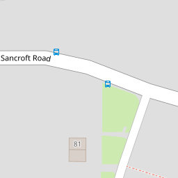
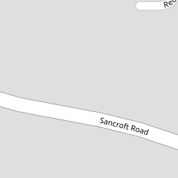
| Sancroft Road, Spondon | £ 370,000 | BUY | 6 / 10 | 0.19 KM |
| Stewart Close, Spondon | £ 240,000 | BUY | 5 / 10 | 0.23 KM |
Nearby Properties
| Address | Price | Distance |
|---|---|---|
| 73 Moor End | £ 179,950 | 0.00 KM |
| 86 Moor End | £ 179,950 | 0.00 KM |
| 67 Moor End | £ 220,000 | 0.00 KM |
| 27 Moor End | £ 262,000 | 0.00 KM |
| 69 Moor End | £ 225,000 | 0.00 KM |