UN
7 The Street
£ 605,000
Description
We don't have a Description for this property.
- Bedrooms
- 4
- Bathrooms
- 0
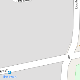
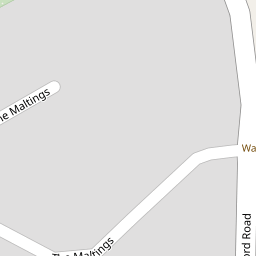
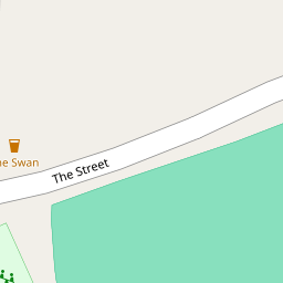

Leaflet © OpenStreetMap contributors
The heatmap indicates the level of crime in the area. The color of the heatmap indicates the crime severity and recency.
Metrics Year-on-Year
- Average area value
- 186,000.00 £Decreased by 22.35 %
- Average area rental value
- 945.00 £/moIncreased by 10.14 %
- Est rental Yield
- 6.10 %Increased by 41.86 %
- Crime Rate
- 57.00 %Unchanged by 0.00 %
from 239,522.00 £
from 858.00 £/mo
from 4.30 %
from 57.00 %
Nearby Schools
| Name | Type | Ofsted | Distance |
|---|---|---|---|
| Rayne Primary And Nursery School | Academy Sponsor Led | 0.81 KM | |
| Notley Green Primary School | Academy Converter | Good | 2.26 KM |
| White Court School | Community School | Good | 2.69 KM |
| St Michael'S Church Of England Voluntary Aided Primary School | Voluntary Aided School | Outstanding | 2.92 KM |
| Tabor Academy | Academy Converter | Good | 3.26 KM |
Images
Nearby Streets
| Name | Average Price | Average Sqft | Distance |
|---|---|---|---|
| Marriott Way | £ 0 | 0 | 0.00 KM |
| Carpenter's Drive | £ 445,000 | 0 | 0.00 KM |
| Farriers Way | £ 0 | 0 | 0.00 KM |
Nearby Transport
| Name | NLC | TLC | Distance |
|---|---|---|---|
| Braintree | 6801 | BTR | 4.90 KM |
| Braintree Freeport | 2053 | BTP | 6.24 KM |
| Cressing (Essex) | 6837 | CES | 7.71 KM |
Nearby Listings
| Address | Price | Type | Score | Distance |
|---|---|---|---|---|
| The Street, Rayne, Braintree, CM77 | £ 850,000 | BUY | Unknown | 0.12 KM |
| Gore Terrace, Rayne, Braintree | £ 550,000 | BUY | Unknown | 0.14 KM |
| Gore Lane, Braintree | £ 475,000 | BUY | Unknown | 0.19 KM |
| Shalford Road, Rayne, Braintree | £ 700,000 | BUY | 7 / 10 | 0.20 KM |
| Rayne | £ 1,500,000 | BUY | 7 / 10 | 0.23 KM |
Nearby Properties
| Address | Price | Distance |
|---|---|---|
| 7 The Street | £ 605,000 | 0.00 KM |
| Lynray | £ 355,000 | 0.08 KM |
| Tudor Cottage | £ 250,000 | 0.08 KM |
| 5 The Maltings | £ 305,000 | 0.09 KM |
| 1 The Maltings | £ 335,000 | 0.09 KM |