UN
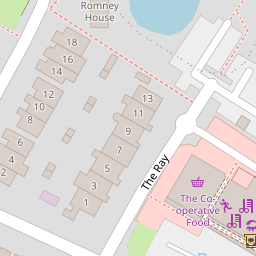
42 The Ray
£ 207,500
Description
We don't have a Description for this property.
- Bedrooms
- 2
- Bathrooms
- 0


Leaflet © OpenStreetMap contributors
The heatmap indicates the level of crime in the area. The color of the heatmap indicates the crime severity and recency.
Metrics Year-on-Year
- Average area value
- 244,515.00 £Decreased by 1.83 %
- Average area rental value
- 1,020.00 £/moIncreased by 1.39 %
- Est rental Yield
- 5.01 %Increased by 3.30 %
- Crime Rate
- 6.00 %Unchanged by 0.00 %
from 249,066.00 £
from 1,006.00 £/mo
from 4.85 %
from 6.00 %
Nearby Schools
| Name | Type | Ofsted | Distance |
|---|---|---|---|
| The Bishops' Church Of England And Roman Catholic Primary School | Voluntary Aided School | Good | 0.49 KM |
| The Tyrrells School | Academy Converter | Good | 0.66 KM |
| Che1/A Chelmsford Central Family Hub | Children's Centre | 0.67 KM | |
| Springfield Primary School | Community School | Requires improvement | 0.67 KM |
| The Boswells School | Academy Converter | Good | 0.77 KM |
Images
Nearby Streets
| Name | Average Price | Average Sqft | Distance |
|---|---|---|---|
| New Bowers Way | £ 232,500 | 0 | 0.00 KM |
| The Leys | £ 512,500 | 0 | 0.00 KM |
| Lawn Lane | £ 0 | 0 | 0.00 KM |
| White Hart Lane | £ 0 | 0 | 0.00 KM |
| Gardiner Way | £ 0 | 0 | 0.00 KM |
Nearby Transport
| Name | NLC | TLC | Distance |
|---|---|---|---|
| Chelmsford | 6836 | CHM | 3.42 KM |
Nearby Listings
| Address | Price | Type | Score | Distance |
|---|---|---|---|---|
| The Ray, Chelmsford | £ 200,000 | BUY | 5 / 10 | 0.08 KM |
| The Ray, Springfield, Chelmsford | £ 375,000 | BUY | Unknown | 0.10 KM |
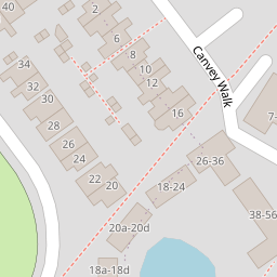
| Canvey Walk, Springfield Chelmsford | £ 200,000 | BUY | 6 / 10 | 0.10 KM |
| Canvey Walk, Springfield, Chelmsford | £ 190,000 | BUY | 5 / 10 | 0.10 KM |
| Canvey Walk, Springfield, Chelmsford | £ 180,000 | BUY | 6 / 10 | 0.10 KM |
Nearby Properties
| Address | Price | Distance |
|---|---|---|
| 26 The Ray | £ 137,500 | 0.00 KM |
| 30 The Ray | £ 194,500 | 0.00 KM |
| 42 The Ray | £ 207,500 | 0.00 KM |
| 20 The Ray | £ 147,000 | 0.00 KM |
| 28 The Ray | £ 225,000 | 0.01 KM |