UN
96 Longfield
£ 297,000
Description
We don't have a Description for this property.
- Bedrooms
- 3
- Bathrooms
- 0
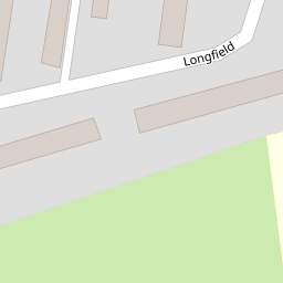
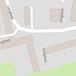

Leaflet © OpenStreetMap contributors
The heatmap indicates the level of crime in the area. The color of the heatmap indicates the crime severity and recency.
Metrics Year-on-Year
- Average area value
- 326,186.00 £Increased by 7.70 %
- Average area rental value
- 1,128.00 £/moDecreased by 9.62 %
- Est rental Yield
- 4.15 %Decreased by 15.99 %
- Crime Rate
- 10.00 %Unchanged by 0.00 %
from 302,867.00 £
from 1,248.00 £/mo
from 4.94 %
from 10.00 %
Nearby Schools
| Name | Type | Ofsted | Distance |
|---|---|---|---|
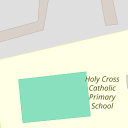
| Holy Cross Catholic Primary School, Harlow | Academy Converter | Good | 0.23 KM |
| Pear Tree Mead Academy | Academy Converter | Good | 0.35 KM |
| Purford Green Primary School | Academy Sponsor Led | Good | 0.42 KM |
| Passmores Academy | Academy Converter | Good | 0.55 KM |
| William Martin Church Of England Infant And Nursery School | Academy Converter | 0.79 KM |
Images
Nearby Streets
| Name | Average Price | Average Sqft | Distance |
|---|---|---|---|
| Oakview Walk | £ 0 | 0 | 0.00 KM |
| Trotters Road | £ 233,333 | 0 | 0.00 KM |
| The Fairway | £ 160,000 | 0 | 0.00 KM |
| Wharley Hook | £ 0 | 0 | 0.00 KM |
| Pear Tree Mead | £ 350,000 | 0 | 0.00 KM |
Nearby Transport
| Name | NLC | TLC | Distance |
|---|---|---|---|
| Harlow Town | 6827 | HWN | 3.72 KM |
| Harlow Mill | 6804 | HWM | 3.96 KM |
| Sawbridgeworth | 6806 | SAW | 7.83 KM |
| Roydon | 6829 | RYN | 9.35 KM |
Nearby Listings
| Address | Price | Type | Score | Distance |
|---|---|---|---|---|
| Longfield, Harlow | £ 350,000 | BUY | Unknown | 0.06 KM |
| Stile Croft, Harlow | £ 300,000 | BUY | 6 / 10 | 0.13 KM |
| Longfield, Harlow, CM18 | £ 360,000 | BUY | 7 / 10 | 0.21 KM |
| Longfield, Harlow | £ 280,000 | BUY | Unknown | 0.23 KM |
| Longfield, Harlow | £ 165,000 | BUY | Unknown | 0.23 KM |
Nearby Properties
| Address | Price | Distance |
|---|---|---|
| 96 Longfield | £ 297,000 | 0.00 KM |
| 97 Longfield | £ 187,000 | 0.00 KM |
| 93 Longfield | £ 290,000 | 0.00 KM |
| 122 Longfield | £ 157,000 | 0.00 KM |
| 111 Longfield | £ 250,000 | 0.00 KM |