UN
7 Mar Road
£ 310,000
Description
We don't have a Description for this property.
- Bedrooms
- 3
- Bathrooms
- 0


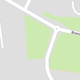
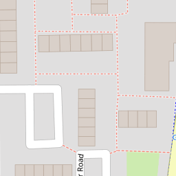

Leaflet © OpenStreetMap contributors
The heatmap indicates the level of crime in the area. The color of the heatmap indicates the crime severity and recency.
Metrics Year-on-Year
- Average area value
- 362,595.00 £Decreased by 6.17 %
- Average area rental value
- 1,036.00 £/moDecreased by 36.60 %
- Est rental Yield
- 3.43 %Decreased by 32.35 %
- Crime Rate
- 9.00 %Unchanged by 0.00 %
from 386,426.00 £
from 1,634.00 £/mo
from 5.07 %
from 9.00 %
Nearby Schools
| Name | Type | Ofsted | Distance |
|---|---|---|---|
| Benyon Primary School | Academy Sponsor Led | Good | 0.60 KM |
| Bonnygate Primary School | Academy Converter | 1.05 KM | |
| Ockendon Children'S Centre P1-2 | Children's Centre | 1.27 KM | |
| Shaw Primary Academy | Academy Converter | Good | 1.43 KM |
| Holy Cross Catholic Primary School | Academy Converter | 1.98 KM |
Images
Nearby Streets
| Name | Average Price | Average Sqft | Distance |
|---|---|---|---|
| Church Crescent | £ 0 | 0 | 0.00 KM |
| Orchard Close | £ 0 | 0 | 0.00 KM |
| Falcon Avenue | £ 260,000 | 0 | 0.00 KM |
| Nelson Road | £ 360,000 | 0 | 0.00 KM |
| Broxburn Court | £ 220,000 | 0 | 0.00 KM |
Nearby Transport
| Name | NLC | TLC | Distance |
|---|---|---|---|
| Ockendon | 7451 | OCK | 0.64 KM |
| Chafford Hundred | 7447 | CFH | 3.77 KM |
| Grays | 7443 | GRY | 5.56 KM |
| Upminster | 7464 | UPM | 6.66 KM |
| West Horndon | 7466 | WHR | 7.45 KM |
Nearby Listings
| Address | Price | Type | Score | Distance |
|---|---|---|---|---|
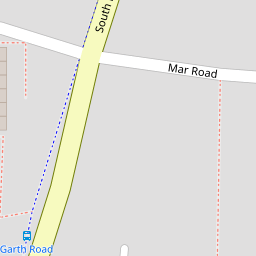
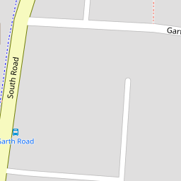
| Garth Road, South Ockendon, RM15 | £ 575,000 | BUY | Unknown | 0.10 KM |
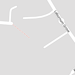
| Laburnum Grove, South Ockendon, RM15 | £ 575,000 | BUY | Unknown | 0.12 KM |
| Garth Road, South Ockendon, RM15 | £ 650,000 | BUY | 7 / 10 | 0.13 KM |
| South Road, South Ockendon, RM15 | £ 350,000 | BUY | 5 / 10 | 0.15 KM |
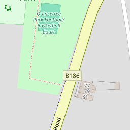
| Mollands Lane, South Ockendon, Essex, RM15 | £ 525,000 | BUY | 8 / 10 | 0.20 KM |
Nearby Properties
| Address | Price | Distance |
|---|---|---|
| 12 Mar Road | £ 445,000 | 0.00 KM |
| 6 Mar Road | £ 330,000 | 0.00 KM |
| 10 Mar Road | £ 370,000 | 0.00 KM |
| 7 Mar Road | £ 310,000 | 0.00 KM |
| 2 Mar Road | £ 112,500 | 0.00 KM |