UN
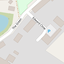
8 The Green
£ 220,000
Description
We don't have a Description for this property.
- Bedrooms
- 3
- Bathrooms
- 0

Leaflet © OpenStreetMap contributors
The heatmap indicates the level of crime in the area. The color of the heatmap indicates the crime severity and recency.
Metrics Year-on-Year
- Average area value
- 433,143.00 £Increased by 32.94 %
- Average area rental value
- 1,187.00 £/moIncreased by 14.91 %
- Est rental Yield
- 3.29 %Decreased by 13.42 %
- Crime Rate
- 76.00 %Unchanged by 0.00 %
from 325,829.00 £
from 1,033.00 £/mo
from 3.80 %
from 76.00 %
Nearby Schools
| Name | Type | Ofsted | Distance |
|---|---|---|---|
| Ashill Voluntary Controlled Primary School | Voluntary Controlled School | Good | 0.32 KM |
| Parker'S Church Of England Primary Academy | Academy Sponsor Led | 3.01 KM | |
| Necton Va Primary School | Voluntary Aided School | Requires improvement | 5.14 KM |
| Watton Junior School | Academy Sponsor Led | 5.27 KM | |
| Watton Westfield Infant And Nursery School | Academy Sponsor Led | Good | 5.59 KM |
Images
Nearby Streets
| Name | Average Price | Average Sqft | Distance |
|---|---|---|---|
| Chapel Yard | £ 375,000 | 0 | 0.00 KM |
| Cornflower Way | £ 0 | 0 | 0.00 KM |
Nearby Listings
| Address | Price | Type | Score | Distance |
|---|---|---|---|---|
| Old Allotment Close, Ashill, Thetford, Norfolk, IP25 | £ 140,000 | BUY | 6 / 10 | 0.18 KM |
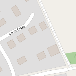
| 22 Lewis Close, Ashill, Thetford, Norfolk IP25 7BH | £ 170,000 | BUY | Unknown | 0.22 KM |
| Acacia Avenue, Ashill, IP25 | £ 255,000 | BUY | 6 / 10 | 0.23 KM |
| Acacia Avenue, Ashill, Thetford, Norfolk, IP25 | £ 210,000 | BUY | 6 / 10 | 0.23 KM |
| Hale Road, Ashill | £ 375,000 | BUY | 7 / 10 | 0.26 KM |
Nearby Properties
| Address | Price | Distance |
|---|---|---|
| 8 The Green | £ 220,000 | 0.00 KM |
| 9 The Green | £ 230,000 | 0.00 KM |
| The Old Crown | £ 185,000 | 0.00 KM |
| 10 The Green | £ 175,000 | 0.00 KM |
| Wood Villa | £ 62,000 | 0.01 KM |