UN
21a Silver Road
£ 160,000
Description
We don't have a Description for this property.
- Bedrooms
- 2
- Bathrooms
- 0
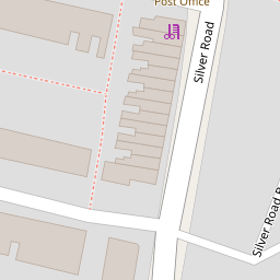
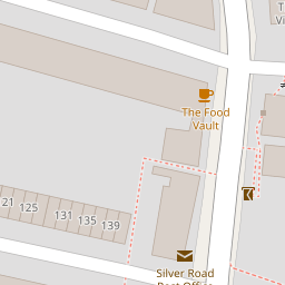
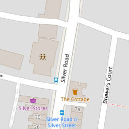

Leaflet © OpenStreetMap contributors
The heatmap indicates the level of crime in the area. The color of the heatmap indicates the crime severity and recency.
Metrics Year-on-Year
- Average area value
- 280,714.00 £Increased by 16.69 %
- Average area rental value
- 1,200.00 £/moIncreased by 4.08 %
- Est rental Yield
- 5.13 %Decreased by 10.78 %
- Crime Rate
- 4.00 %Unchanged by 0.00 %
from 240,560.00 £
from 1,153.00 £/mo
from 5.75 %
from 4.00 %
Nearby Schools
| Name | Type | Ofsted | Distance |
|---|---|---|---|
| George White Junior School | Academy Converter | Good | 0.34 KM |
| Magdalen Gates Primary School | Community School | Good | 0.54 KM |
| Mousehold Infant & Nursery School | Academy Converter | 0.59 KM | |
| Norwich School | Other Independent School | 0.92 KM | |
| St. Clements Hill Primary Academy | Free Schools | 1.06 KM |
Images
Nearby Streets
| Name | Average Price | Average Sqft | Distance |
|---|---|---|---|
| Silver Road Back Lane | £ 0 | 0 | 0.00 KM |
| Balfour Street | £ 325,000 | 0 | 0.00 KM |
| Printworks Drive | £ 345,000 | 0 | 0.00 KM |
| Typesetters Way | £ 350,000 | 0 | 0.00 KM |
| Queen Elizabeth Close | £ 0 | 0 | 0.00 KM |
Nearby Transport
| Name | NLC | TLC | Distance |
|---|---|---|---|
| Norwich | 7309 | NRW | 1.32 KM |
Nearby Listings
| Address | Price | Type | Score | Distance |
|---|---|---|---|---|
| Silver Road, Norwich | £ 230,000 | BUY | 7 / 10 | 0.01 KM |
| Silver Road, Norwich | £ 210,000 | BUY | 6 / 10 | 0.09 KM |
| Wodehouse Street | £ 230,000 | BUY | 6 / 10 | 0.11 KM |
| Marlborough Road, Norwich | £ 260,000 | BUY | 6 / 10 | 0.11 KM |
| Beaconsfield Road, Norwich, NR3 4PP | £ 210,000 | BUY | 6 / 10 | 0.12 KM |
Nearby Properties
| Address | Price | Distance |
|---|---|---|
| 39 Silver Road | £ 88,500 | 0.00 KM |
| 66 Silver Road | £ 170,000 | 0.00 KM |
| 21a Silver Road | £ 160,000 | 0.00 KM |
| 37 Silver Road | £ 140,000 | 0.00 KM |
| 41 Silver Road | £ 170,000 | 0.00 KM |