UN
4 Thurling Loke
£ 157,500
Description
We don't have a Description for this property.
- Bedrooms
- 3
- Bathrooms
- 0
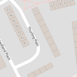
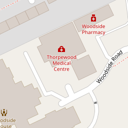
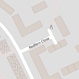

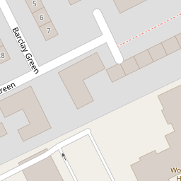
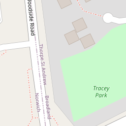

Leaflet © OpenStreetMap contributors
The heatmap indicates the level of crime in the area. The color of the heatmap indicates the crime severity and recency.
Metrics Year-on-Year
- Average area value
- 247,955.00 £Increased by 4.61 %
- Average area rental value
- 1,040.00 £/moDecreased by 8.05 %
- Est rental Yield
- 5.03 %Decreased by 12.22 %
- Crime Rate
- 17.00 %Unchanged by 0.00 %
from 237,025.00 £
from 1,131.00 £/mo
from 5.73 %
from 17.00 %
Nearby Schools
| Name | Type | Ofsted | Distance |
|---|---|---|---|
| Dussindale Children'S Centre | Children's Centre | 0.52 KM | |
| St William'S Primary School | Community School | Good | 0.81 KM |
| Heartsease Primary Academy | Academy Converter | Outstanding | 1.42 KM |
| Falcon Junior School | Community School | Good | 1.72 KM |
| Thorpe St Andrew School And Sixth Form | Academy Converter | 1.76 KM |
Images
Nearby Streets
| Name | Average Price | Average Sqft | Distance |
|---|---|---|---|
| Witard Road | £ 0 | 0 | 0.00 KM |
| Gunn Road | £ 0 | 0 | 0.00 KM |
| Orchard Close | £ 300,833 | 0 | 0.00 KM |
| Hawthorn Drive | £ 132,813 | 0 | 0.00 KM |
| Plantation Drive | £ 270,000 | 0 | 0.00 KM |
Nearby Transport
| Name | NLC | TLC | Distance |
|---|---|---|---|
| Norwich | 7309 | NRW | 4.21 KM |
| Salhouse | 7318 | SAH | 6.61 KM |
| Brundall Gardens | 7006 | BGA | 8.79 KM |
Nearby Listings
| Address | Price | Type | Score | Distance |
|---|---|---|---|---|
| Thurling Loke, Norwich | £ 250,000 | BUY | 6 / 10 | 0.00 KM |
| Thurling Plain, Norwich, Norfolk | £ 270,000 | BUY | 6 / 10 | 0.09 KM |
| Chipperfield Road, Norwich | £ 130,000 | BUY | 5 / 10 | 0.18 KM |
| Plumstead Road East, Norwich, Norfolk | £ 375,000 | BUY | 7 / 10 | 0.24 KM |
| Racecourse Road, Norwich | £ 130,000 | BUY | 6 / 10 | 0.24 KM |
Nearby Properties
| Address | Price | Distance |
|---|---|---|
| 4 Thurling Loke | £ 157,500 | 0.00 KM |
| 24 Thurling Plain | £ 186,000 | 0.10 KM |
| 27 Thurling Plain | £ 167,500 | 0.10 KM |
| 45 Thurling Plain | £ 245,000 | 0.10 KM |
| 19 Thurling Plain | £ 135,000 | 0.10 KM |