UN
2 Scossels
£ 188,000
Description
We don't have a Description for this property.
- Bedrooms
- 3
- Bathrooms
- 0
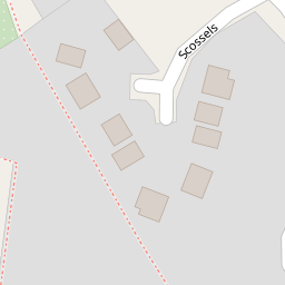
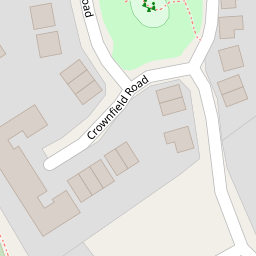

Leaflet © OpenStreetMap contributors
The heatmap indicates the level of crime in the area. The color of the heatmap indicates the crime severity and recency.
Metrics Year-on-Year
- Average area value
- 384,444.00 £Decreased by 1.42 %
- Average area rental value
- 1,146.00 £/moIncreased by 30.97 %
- Est rental Yield
- 3.58 %Increased by 33.09 %
- Crime Rate
- 55.00 %Unchanged by 0.00 %
from 390,000.00 £
from 875.00 £/mo
from 2.69 %
from 55.00 %
Nearby Schools
| Name | Type | Ofsted | Distance |
|---|---|---|---|
| Glemsford Primary Academy | Academy Sponsor Led | Good | 0.35 KM |
| Hartest Church Of England Primary School | Academy Sponsor Led | 3.93 KM | |
| Cavendish Church Of England Primary School | Voluntary Controlled School | Good | 4.20 KM |
| Long Melford Church Of England Primary School | Academy Sponsor Led | Good | 6.72 KM |
| All Saints' Church Of England Voluntary Controlled Primary School, Lawshall | Voluntary Controlled School | Outstanding | 8.48 KM |
Images
Nearby Streets
| Name | Average Price | Average Sqft | Distance |
|---|---|---|---|
| School Field | £ 229,998 | 0 | 0.00 KM |
| Chequers Lane | £ 380,000 | 0 | 0.00 KM |
| Foundry Close | £ 361,250 | 0 | 0.00 KM |
| The Croft | £ 441,500 | 0 | 0.00 KM |
| Skate's Hill | £ 495,000 | 0 | 0.00 KM |
Nearby Listings
| Address | Price | Type | Score | Distance |
|---|---|---|---|---|
| Scossels, Glemsford | £ 345,000 | BUY | 6 / 10 | 0.05 KM |
| Crown Field Road, Glemsford, Sudbury, Suffolk | £ 300,000 | BUY | 6 / 10 | 0.07 KM |
| Crownfield Road, Glemsford, Sudbury | £ 325,000 | BUY | 6 / 10 | 0.08 KM |
| Crown Field Road, Glemsford, Sudbury, CO10 | £ 290,000 | BUY | 7 / 10 | 0.09 KM |
| Abbitts Place, Glemsford, Sudbury | £ 260,000 | BUY | 7 / 10 | 0.09 KM |
Nearby Properties
| Address | Price | Distance |
|---|---|---|
| 2 Scossels | £ 188,000 | 0.00 KM |
| 5 Crown Field Road | £ 167,000 | 0.08 KM |
| 2 Crownfield Road | £ 322,500 | 0.08 KM |
| 40 Crownfield Road | £ 206,000 | 0.08 KM |
| 3 Crownfield Road | £ 180,000 | 0.08 KM |