UN
10 The Close
£ 530,000
Description
We don't have a Description for this property.
- Bedrooms
- 3
- Bathrooms
- 0
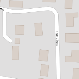

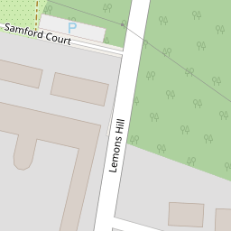


Leaflet © OpenStreetMap contributors
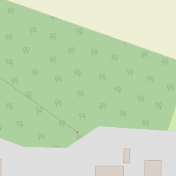
The heatmap indicates the level of crime in the area. The color of the heatmap indicates the crime severity and recency.
Metrics Year-on-Year
- Average area value
- 421,964.00 £Increased by 13.32 %
- Average area rental value
- 1,350.00 £/moIncreased by 8.00 %
- Est rental Yield
- 3.84 %Decreased by 4.71 %
- Crime Rate
- 20.00 %Unchanged by 0.00 %
from 372,357.00 £
from 1,250.00 £/mo
from 4.03 %
from 20.00 %
Nearby Schools
| Name | Type | Ofsted | Distance |
|---|---|---|---|
| Tattingstone Church Of England Voluntary Controlled Primary School | Voluntary Controlled School | Good | 0.10 KM |
| Stutton Church Of England Primary School | Academy Sponsor Led | 3.21 KM | |
| Bentley Church Of England Voluntary Controlled Primary School | Voluntary Controlled School | Good | 3.52 KM |
| Royal Hospital School | Other Independent School | 4.74 KM | |
| Holbrook Primary School | Community School | Good | 4.86 KM |
Images
Nearby Streets
| Name | Average Price | Average Sqft | Distance |
|---|---|---|---|
| Park Lane | £ 0 | 0 | 0.00 KM |
Nearby Transport
| Name | NLC | TLC | Distance |
|---|---|---|---|
| Mistley | 6906 | MIS | 6.32 KM |
| Ipswich | 7217 | IPS | 7.48 KM |
| Manningtree | 6856 | MNG | 8.75 KM |
| Wrabness | 6907 | WRB | 8.82 KM |
Nearby Listings
| Address | Price | Type | Score | Distance |
|---|---|---|---|---|
| Chedworth Place, Tattingstone, Ipswich | £ 350,000 | BUY | 8 / 10 | 0.19 KM |
| Chedworth Place, Tattingstone, Ipswich, Suffolk, IP9 | £ 325,000 | BUY | 6 / 10 | 0.22 KM |
| Samford Court, Tattingstone, Ipswich | £ 1,000,000 | BUY | 7 / 10 | 0.23 KM |
| Chedworth Place, Tattingstone | £ 475,000 | BUY | 7 / 10 | 0.26 KM |
| Church Road, Tattingstone, Ipswich, Suffolk, IP9 | £ 750,000 | BUY | Unknown | 0.33 KM |
Nearby Properties
| Address | Price | Distance |
|---|---|---|
| 3 The Close | £ 340,000 | 0.00 KM |
| 10 The Close | £ 530,000 | 0.00 KM |
| 8 The Close | £ 557,500 | 0.00 KM |
| 11 The Close | £ 345,000 | 0.00 KM |
| 14 The Close | £ 340,000 | 0.00 KM |