UN
3 Lewis Lane
£ 64,950
Description
We don't have a Description for this property.
- Bedrooms
- 2
- Bathrooms
- 0
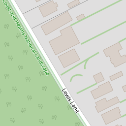

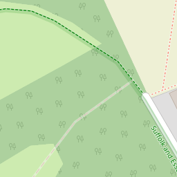

Leaflet © OpenStreetMap contributors
The heatmap indicates the level of crime in the area. The color of the heatmap indicates the crime severity and recency.
Metrics Year-on-Year
- Average area value
- 211,429.00 £Decreased by 18.26 %
- Average area rental value
- 764.00 £/moDecreased by 28.26 %
- Est rental Yield
- 4.34 %Decreased by 12.15 %
- Crime Rate
- 14.00 %Unchanged by 0.00 %
from 258,676.00 £
from 1,065.00 £/mo
from 4.94 %
from 14.00 %
Nearby Schools
| Name | Type | Ofsted | Distance |
|---|---|---|---|
| Stutton Church Of England Primary School | Academy Sponsor Led | 1.77 KM | |
| Tattingstone Church Of England Voluntary Controlled Primary School | Voluntary Controlled School | Good | 2.47 KM |
| Royal Hospital School | Other Independent School | 3.87 KM | |
| Mistley Norman Church Of England Primary School | Academy Sponsor Led | Requires improvement | 4.24 KM |
| Bradfield Primary School | Community School | Good | 4.60 KM |
Images
Nearby Streets
| Name | Average Price | Average Sqft | Distance |
|---|---|---|---|
| Holbrook Road | £ 695,000 | 0 | 0.00 KM |
Nearby Transport
| Name | NLC | TLC | Distance |
|---|---|---|---|
| Mistley | 6906 | MIS | 4.70 KM |
| Wrabness | 6907 | WRB | 7.12 KM |
| Manningtree | 6856 | MNG | 8.02 KM |
| Ipswich | 7217 | IPS | 9.57 KM |
Nearby Listings
| Address | Price | Type | Score | Distance |
|---|---|---|---|---|
| Manningtree Road, Stutton, Ipswich, Suffolk, IP9 | £ 800,000 | BUY | Unknown | 1.23 KM |
| Church Road, Stutton | £ 365,000 | BUY | 7 / 10 | 1.67 KM |
| School Close, Stutton, Ipswich, Suffolk, IP9 | £ 695,000 | BUY | 7 / 10 | 1.71 KM |
| Baytree Way, Ipswich, IP9 | £ 440,000 | BUY | Unknown | 1.85 KM |
| Stutton Close, Stutton, Ipswich, Suffolk, IP9 | £ 300,000 | BUY | Unknown | 1.97 KM |
Nearby Properties
| Address | Price | Distance |
|---|---|---|
| Autumn Tints | £ 308,000 | 0.00 KM |
| 3 Lewis Lane | £ 64,950 | 0.00 KM |
| 7 Lewis Lane | £ 76,500 | 0.00 KM |
| The Birches | £ 289,950 | 0.00 KM |
| 2 Lewis Lane | £ 100,000 | 0.00 KM |