UN
8 East Lawn
£ 337,500
Description
We don't have a Description for this property.
- Bedrooms
- 3
- Bathrooms
- 0
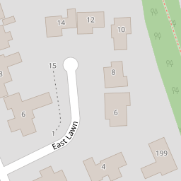
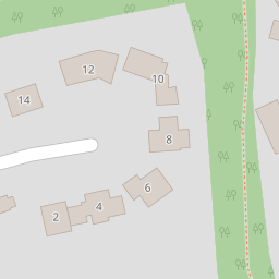
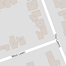

Leaflet © OpenStreetMap contributors
The heatmap indicates the level of crime in the area. The color of the heatmap indicates the crime severity and recency.
Metrics Year-on-Year
- Average area value
- 375,000.00 £Decreased by 11.79 %
- Average area rental value
- 946.00 £/moIncreased by 9.62 %
- Est rental Yield
- 3.03 %Increased by 24.18 %
- Crime Rate
- 0.00 %
from 425,107.00 £
from 863.00 £/mo
from 2.44 %
from 0.00 %
Nearby Schools
| Name | Type | Ofsted | Distance |
|---|---|---|---|
| St Alban'S Catholic High School | Academy Converter | Good | 0.55 KM |
| St Christopher'S Academy | Academy Alternative Provision Converter | 0.88 KM | |
| Rushmere Hall Primary School | Academy Converter | 0.97 KM | |
| Wooden House Children'S Centre | Children's Centre | 1.00 KM | |
| Parkside Academy | Academy Alternative Provision Converter | Requires improvement | 1.16 KM |
Images
Nearby Streets
| Name | Average Price | Average Sqft | Distance |
|---|---|---|---|
| Ladywood Road | £ 0 | 0 | 0.00 KM |
| The Drift | £ 300,000 | 0 | 0.00 KM |
| Halliwell Road | £ 375,000 | 0 | 0.00 KM |
| Victory Road | £ 280,000 | 0 | 0.00 KM |
| Orkney Road | £ 0 | 0 | 0.00 KM |
Nearby Transport
| Name | NLC | TLC | Distance |
|---|---|---|---|
| Derby Road (Ipswich) | 7212 | DBR | 2.20 KM |
| Westerfield | 7226 | WFI | 3.70 KM |
| Ipswich | 7217 | IPS | 5.89 KM |
Nearby Listings
| Address | Price | Type | Score | Distance |
|---|---|---|---|---|
| Winston Avenue, Ipswich | £ 725,000 | BUY | Unknown | 0.21 KM |
| Winston Avenue, Ipswich | £ 550,000 | BUY | Unknown | 0.26 KM |
| Digby Road, Ipswich, Suffolk, IP4 | £ 360,000 | BUY | 7 / 10 | 0.28 KM |
| Colchester Road, Ipswich | £ 550,000 | BUY | Unknown | 0.39 KM |
| Dumbarton Road, Ipswich | £ 300,000 | BUY | Unknown | 0.40 KM |
Nearby Properties
| Address | Price | Distance |
|---|---|---|
| 8 East Lawn | £ 337,500 | 0.00 KM |
| 4 East Lawn | £ 385,000 | 0.00 KM |
| 14 East Lawn | £ 390,000 | 0.00 KM |
| 10 East Lawn | £ 470,000 | 0.00 KM |
| 9 The Lawns | £ 260,000 | 0.10 KM |