UN
6 The Vale
£ 865,000
Description
We don't have a Description for this property.
- Bedrooms
- 4
- Bathrooms
- 0
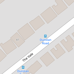
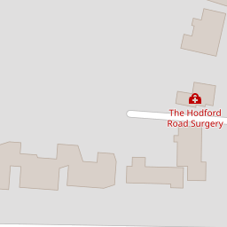
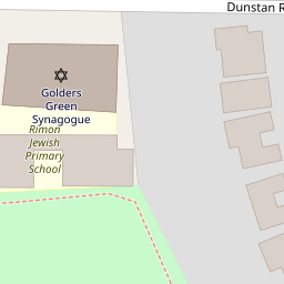

Leaflet © OpenStreetMap contributors
The heatmap indicates the level of crime in the area. The color of the heatmap indicates the crime severity and recency.
Metrics Year-on-Year
- Average area value
- 1,158,994.00 £Increased by 19.58 %
- Average area rental value
- 2,470.00 £/moIncreased by 17.79 %
- Est rental Yield
- 2.56 %Decreased by 1.54 %
- Crime Rate
- 2.00 %Unchanged by 0.00 %
from 969,209.00 £
from 2,097.00 £/mo
from 2.60 %
from 2.00 %
Nearby Schools
| Name | Type | Ofsted | Distance |
|---|---|---|---|
| Rimon Jewish Primary School | Free Schools | Good | 0.15 KM |
| All Saints' Cofe Primary School Nw2 | Voluntary Aided School | Good | 0.80 KM |
| Golders Hill School | Other Independent School | Good | 0.83 KM |
| Menorah Primary School | Voluntary Aided School | Outstanding | 0.87 KM |
| Wessex Gardens Primary School | Community School | Good | 0.98 KM |
Images
Nearby Streets
| Name | Average Price | Average Sqft | Distance |
|---|---|---|---|
| Malvern Gardens | £ 0 | 0 | 0.00 KM |
| St Albans Lane | £ 2,500,000 | 0 | 0.00 KM |
| Grampian Gardens | £ 0 | 0 | 0.00 KM |
| Portsdown Mews | £ 0 | 0 | 0.00 KM |
| Harman Close | £ 382,500 | 0 | 0.00 KM |
Nearby Transport
| Name | NLC | TLC | Distance |
|---|---|---|---|
| Cricklewood | 1519 | CRI | 1.75 KM |
| West Hampstead Thameslink | 1525 | WHP | 2.53 KM |
| West Hampstead | 1421 | WHD | 2.66 KM |
| Brondesbury | 1437 | BSY | 2.68 KM |
| Finchley Road And Frognal | 1445 | FNY | 2.90 KM |
Nearby Listings
| Address | Price | Type | Score | Distance |
|---|---|---|---|---|
| The Vale, Golders Green, London, NW11 | £ 2,250,000 | BUY | 8 / 10 | 0.02 KM |
| Dunstan Road, Golders Green, NW11 | £ 1,300,000 | BUY | 5 / 10 | 0.06 KM |
| The Vale, Golders Green, London, NW11 | £ 2,250,000 | BUY | Unknown | 0.15 KM |
| The Vale, Golders Green NW11 | £ 1,750,000 | BUY | Unknown | 0.19 KM |
| The Vale, NW11 | £ 675,000 | BUY | Unknown | 0.20 KM |
Nearby Properties
| Address | Price | Distance |
|---|---|---|
| 40 The Vale | £ 960,000 | 0.00 KM |
| 44 The Vale | £ 1,616,000 | 0.00 KM |
| 6 The Vale | £ 865,000 | 0.00 KM |
| 30 The Vale | £ 650,000 | 0.00 KM |
| 20 The Vale | £ 1,600,000 | 0.00 KM |