UN
9 Egerton Gardens
£ 515,000
Description
We don't have a Description for this property.
- Bedrooms
- 3
- Bathrooms
- 0
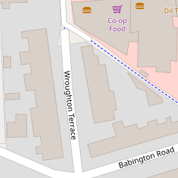
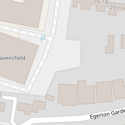
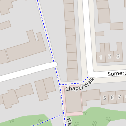
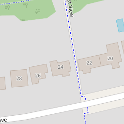

Leaflet © OpenStreetMap contributors
The heatmap indicates the level of crime in the area. The color of the heatmap indicates the crime severity and recency.
Metrics Year-on-Year
- Average area value
- 494,694.00 £Decreased by 3.93 %
- Average area rental value
- 1,770.00 £/moDecreased by 2.43 %
- Est rental Yield
- 4.29 %Increased by 1.42 %
- Crime Rate
- 17.00 %Unchanged by 0.00 %
from 514,950.00 £
from 1,814.00 £/mo
from 4.23 %
from 17.00 %
Nearby Schools
| Name | Type | Ofsted | Distance |
|---|---|---|---|
| St Mary'S And St John'S Cofe School | Voluntary Aided School | Good | 0.33 KM |
| Tiferes High School | Other Independent School | Requires improvement | 0.41 KM |
| Brampton College | Other Independent School | 0.43 KM | |
| St Joseph'S Catholic Primary School | Voluntary Aided School | Good | 0.60 KM |
| Sunnyfields Primary School | Community School | Good | 0.69 KM |
Images
Nearby Streets
| Name | Average Price | Average Sqft | Distance |
|---|---|---|---|
| North Street | £ 0 | 0 | 0.00 KM |
| Allington Road | £ 1,000,000 | 0 | 0.00 KM |
| Handowe Close | £ 0 | 0 | 0.00 KM |
| Bethel Close | £ 0 | 0 | 0.00 KM |
| Grove Gardens | £ 0 | 0 | 0.00 KM |
Nearby Transport
| Name | NLC | TLC | Distance |
|---|---|---|---|
| Hendon | 1522 | HEN | 1.67 KM |
| Cricklewood | 1519 | CRI | 3.65 KM |
| Mill Hill Broadway | 1527 | MIL | 3.75 KM |
| Brondesbury | 1437 | BSY | 5.49 KM |
| Brondesbury Park | 1438 | BSP | 5.60 KM |
Nearby Listings
| Address | Price | Type | Score | Distance |
|---|---|---|---|---|
| Egerton Gardens, Hendon NW4 | £ 520,000 | BUY | 6 / 10 | 0.01 KM |
| Egerton Gardens, Hendon NW4 | £ 1,100,000 | BUY | 7 / 10 | 0.01 KM |
| Egerton Gardens, Hendon NW4 | £ 890,000 | BUY | 7 / 10 | 0.03 KM |
| Egerton Gardens, Hendon, London, NW4 | £ 1,298,000 | BUY | 7 / 10 | 0.05 KM |
| Babington Road, London, NW4 | £ 749,950 | BUY | 6 / 10 | 0.09 KM |
Nearby Properties
| Address | Price | Distance |
|---|---|---|
| 45 Egerton Gardens | £ 790,000 | 0.00 KM |
| 43 Egerton Gardens | £ 642,500 | 0.00 KM |
| 29 Egerton Gardens | £ 300,000 | 0.00 KM |
| 15 Egerton Gardens | £ 970,000 | 0.00 KM |
| 9 Egerton Gardens | £ 515,000 | 0.00 KM |