UN
280b Watford Way
£ 214,000
Description
We don't have a Description for this property.
- Bedrooms
- 2
- Bathrooms
- 0


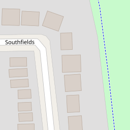


Leaflet © OpenStreetMap contributors
The heatmap indicates the level of crime in the area. The color of the heatmap indicates the crime severity and recency.
Metrics Year-on-Year
- Average area value
- 494,694.00 £Decreased by 3.93 %
- Average area rental value
- 1,770.00 £/moDecreased by 2.43 %
- Est rental Yield
- 4.29 %Increased by 1.42 %
- Crime Rate
- 3.00 %Unchanged by 0.00 %
from 514,950.00 £
from 1,814.00 £/mo
from 4.23 %
from 3.00 %
Nearby Schools
| Name | Type | Ofsted | Distance |
|---|---|---|---|
| Sunnyfields Primary School | Community School | Good | 0.41 KM |
| St Joseph'S Catholic Primary School | Voluntary Aided School | Good | 0.82 KM |
| St Mary'S And St John'S Cofe School | Voluntary Aided School | Good | 0.86 KM |
| North London Grammar School | Other Independent School | Outstanding | 0.96 KM |
| Hasmonean High School For Girls | Academy Converter | 1.04 KM |
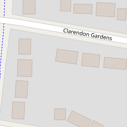
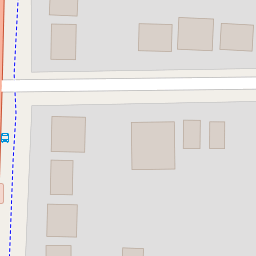
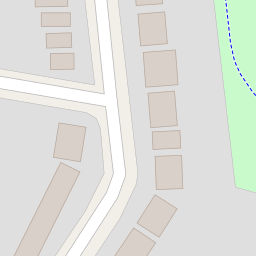
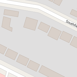
Images
Nearby Streets
| Name | Average Price | Average Sqft | Distance |
|---|---|---|---|
| Ladysmith Close | £ 697,500 | 0 | 0.00 KM |
| Bute Close | £ 600,000 | 0 | 0.00 KM |
| Lismore Boulevard | £ 375,000 | 0 | 0.00 KM |
| Aerodrome Road | £ 0 | 0 | 0.00 KM |
| Allington Road | £ 1,000,000 | 0 | 0.00 KM |
Nearby Transport
| Name | NLC | TLC | Distance |
|---|---|---|---|
| Hendon | 1522 | HEN | 1.70 KM |
| Mill Hill Broadway | 1527 | MIL | 2.73 KM |
| Cricklewood | 1519 | CRI | 4.61 KM |
| Brondesbury | 1437 | BSY | 6.46 KM |
| Brondesbury Park | 1438 | BSP | 6.50 KM |
Nearby Listings
| Address | Price | Type | Score | Distance |
|---|---|---|---|---|
| Hendale Avenue, Hendon NW4 | £ 650,000 | BUY | 6 / 10 | 0.11 KM |
| Wilshaw Close, London, NW4 | £ 365,000 | BUY | 5 / 10 | 0.12 KM |
| Watford Way, Hendon, London, NW4 | £ 325,000 | BUY | 5 / 10 | 0.12 KM |
| Southfields, Hendon NW4 | £ 900,000 | BUY | Unknown | 0.15 KM |
| Southfields, London | £ 1,050,000 | BUY | Unknown | 0.16 KM |
Nearby Properties
| Address | Price | Distance |
|---|---|---|
| 280b Watford Way | £ 214,000 | 0.00 KM |
| 3 Clarendon Gardens | £ 225,000 | 0.08 KM |
| 1 Clarendon Gardens | £ 460,000 | 0.08 KM |
| 8 Clarendon Gardens | £ 573,000 | 0.08 KM |
| 6 Clarendon Gardens | £ 670,000 | 0.08 KM |