UN
16 Westside
£ 475,000
Description
We don't have a Description for this property.
- Bedrooms
- 3
- Bathrooms
- 0
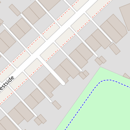
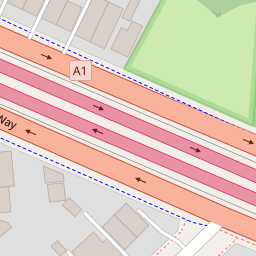
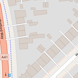

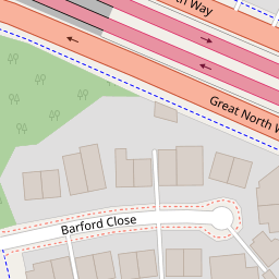

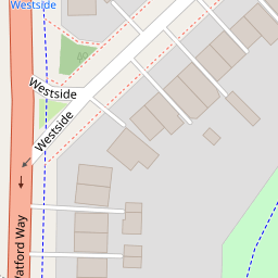


Leaflet © OpenStreetMap contributors
The heatmap indicates the level of crime in the area. The color of the heatmap indicates the crime severity and recency.
Metrics Year-on-Year
- Average area value
- 494,694.00 £Decreased by 3.93 %
- Average area rental value
- 1,770.00 £/moDecreased by 2.43 %
- Est rental Yield
- 4.29 %Increased by 1.42 %
- Crime Rate
- 3.00 %Unchanged by 0.00 %
from 514,950.00 £
from 1,814.00 £/mo
from 4.23 %
from 3.00 %
Nearby Schools
| Name | Type | Ofsted | Distance |
|---|---|---|---|
| Hasmonean High School For Girls | Academy Converter | 0.51 KM | |
| Sunnyfields Primary School | Community School | Good | 0.92 KM |
| St James' Catholic High School | Voluntary Aided School | Good | 1.01 KM |
| Blessed Dominic Catholic Primary School | Voluntary Aided School | Outstanding | 1.02 KM |
| Copthall School | Academy Converter | Good | 1.04 KM |
Images
Nearby Streets
| Name | Average Price | Average Sqft | Distance |
|---|---|---|---|
| Ladysmith Close | £ 697,500 | 0 | 0.00 KM |
| Holland Court | £ 0 | 0 | 0.00 KM |
| Meldex Close | £ 0 | 0 | 0.00 KM |
| Aerodrome Road | £ 0 | 0 | 0.00 KM |
| Lismore Boulevard | £ 375,000 | 0 | 0.00 KM |
Nearby Transport
| Name | NLC | TLC | Distance |
|---|---|---|---|
| Hendon | 1522 | HEN | 2.28 KM |
| Mill Hill Broadway | 1527 | MIL | 2.45 KM |
| Cricklewood | 1519 | CRI | 5.03 KM |
| Brondesbury | 1437 | BSY | 6.86 KM |
| Brondesbury Park | 1438 | BSP | 6.96 KM |
Nearby Listings
| Address | Price | Type | Score | Distance |
|---|---|---|---|---|
| Finchley, London, NW4 | £ 900,000 | BUY | Unknown | 0.02 KM |
| Westside, London | £ 650,000 | BUY | 6 / 10 | 0.06 KM |
| Barford Close, Hendon, NW4 | £ 650,000 | BUY | Unknown | 0.12 KM |
| Watford Way, London, NW4 | £ 425,000 | BUY | 6 / 10 | 0.14 KM |
| Watford Way, London | £ 165,000 | BUY | 4 / 10 | 0.15 KM |
Nearby Properties
| Address | Price | Distance |
|---|---|---|
| 16 Westside | £ 475,000 | 0.00 KM |
| 48 Westside | £ 500,000 | 0.00 KM |
| 30 Westside | £ 600,000 | 0.00 KM |
| 12 Westside | £ 445,000 | 0.00 KM |
| 34 Westside | £ 432,500 | 0.00 KM |