UN
45 The Hook
£ 345,000
Description
We don't have a Description for this property.
- Bedrooms
- 4
- Bathrooms
- 0
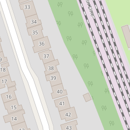
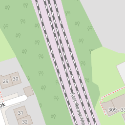
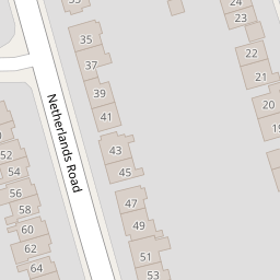
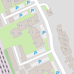
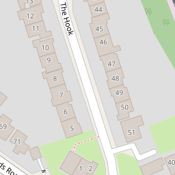
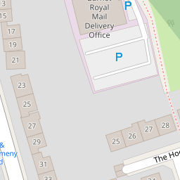
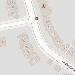
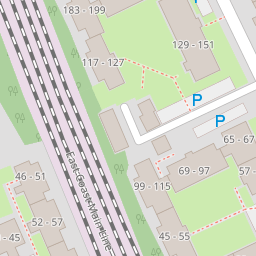

Leaflet © OpenStreetMap contributors
The heatmap indicates the level of crime in the area. The color of the heatmap indicates the crime severity and recency.
Metrics Year-on-Year
- Average area value
- 805,124.00 £Increased by 8.63 %
- Average area rental value
- 2,104.00 £/moDecreased by 10.09 %
- Est rental Yield
- 3.14 %Decreased by 17.15 %
- Crime Rate
- 3.00 %Unchanged by 0.00 %
from 741,192.00 £
from 2,340.00 £/mo
from 3.79 %
from 3.00 %
Nearby Schools
| Name | Type | Ofsted | Distance |
|---|---|---|---|
| Brookhill Nursery School | Local Authority Nursery School | Outstanding | 0.71 KM |
| Pavilion Study Centre | Pupil Referral Unit | Good | 0.77 KM |
| St Margaret'S Nursery School | Local Authority Nursery School | Outstanding | 0.89 KM |
| St Mary'S Cofe Primary School, East Barnet | Voluntary Aided School | Outstanding | 0.92 KM |
| Beya Children'S Centre | Children's Centre | 0.94 KM |
Images
Nearby Streets
| Name | Average Price | Average Sqft | Distance |
|---|---|---|---|
| Triangle Passage | £ 0 | 0 | 0.00 KM |
| Astera Mews | £ 0 | 0 | 0.00 KM |
| Station Approach | £ 0 | 0 | 0.00 KM |
| Preston Court | £ 289,995 | 0 | 0.00 KM |
| Mowbray Road | £ 0 | 0 | 0.00 KM |
Nearby Transport
| Name | NLC | TLC | Distance |
|---|---|---|---|
| Oakleigh Park | 6020 | OKL | 0.56 KM |
| New Barnet | 6018 | NBA | 0.89 KM |
| Hadley Wood | 6075 | HDW | 3.11 KM |
| New Southgate | 6019 | NSG | 4.23 KM |
| Bowes Park | 6027 | BOP | 6.65 KM |
Nearby Listings
| Address | Price | Type | Score | Distance |
|---|---|---|---|---|
| Netherlands Road, New Barnet, Barnet, EN5 | £ 900,000 | BUY | 7 / 10 | 0.12 KM |
| Netherlands Road, New Barnet, Barnet, EN5 | £ 1,000,000 | BUY | 7 / 10 | 0.12 KM |
| The Hook, New Barnet, EN5 | £ 350,000 | BUY | 5 / 10 | 0.12 KM |
| Shurland Avenue, East Barnet, EN4 | £ 225,000 | BUY | Unknown | 0.13 KM |
| Shurland Avenue, Barnet | £ 360,000 | BUY | Unknown | 0.13 KM |
Nearby Properties
| Address | Price | Distance |
|---|---|---|
| 50 The Hook | £ 495,555 | 0.00 KM |
| 44 The Hook | £ 325,000 | 0.00 KM |
| 31 The Hook | £ 150,000 | 0.00 KM |
| 45 The Hook | £ 345,000 | 0.00 KM |
| 39 The Hook | £ 347,000 | 0.00 KM |