UN
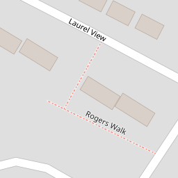
4 Rogers Walk
£ 395,000
Description
We don't have a Description for this property.
- Bedrooms
- 2
- Bathrooms
- 0

Leaflet © OpenStreetMap contributors
The heatmap indicates the level of crime in the area. The color of the heatmap indicates the crime severity and recency.
Metrics Year-on-Year
- Average area value
- 1,077,389.00 £Increased by 1.83 %
- Average area rental value
- 2,772.00 £/moIncreased by 5.36 %
- Est rental Yield
- 3.09 %Increased by 3.69 %
- Crime Rate
- 2.00 %Unchanged by 0.00 %
from 1,058,005.00 £
from 2,631.00 £/mo
from 2.98 %
from 2.00 %
Nearby Schools
| Name | Type | Ofsted | Distance |
|---|---|---|---|
| Finchley Catholic High School | Voluntary Aided School | Good | 0.44 KM |
| The Holmewood School | Other Independent Special School | Good | 0.48 KM |
| Northside Primary School | Community School | Outstanding | 0.94 KM |
| St John'S Cofe Primary School | Voluntary Aided School | Good | 0.99 KM |
| Woodridge Primary School | Community School | Good | 0.99 KM |
Images
Nearby Streets
| Name | Average Price | Average Sqft | Distance |
|---|---|---|---|
| Station Approach | £ 0 | 0 | 0.00 KM |
| Woodside Court | £ 850,000 | 0 | 0.00 KM |
| High Road | £ 0 | 0 | 0.00 KM |
| Coleridge Road | £ 0 | 0 | 0.00 KM |
| Castle Mews | £ 0 | 0 | 0.00 KM |
Nearby Transport
| Name | NLC | TLC | Distance |
|---|---|---|---|
| Oakleigh Park | 6020 | OKL | 2.67 KM |
| New Barnet | 6018 | NBA | 3.19 KM |
| New Southgate | 6019 | NSG | 4.72 KM |
| Hadley Wood | 6075 | HDW | 5.22 KM |
| Mill Hill Broadway | 1527 | MIL | 7.19 KM |
Nearby Listings
| Address | Price | Type | Score | Distance |
|---|---|---|---|---|
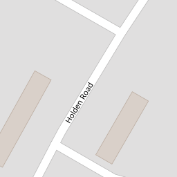
| Holden Road, Woodside Park, London, N12 | £ 650,000 | BUY | 6 / 10 | 0.09 KM |
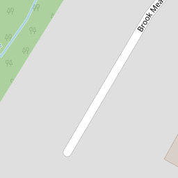
| Brook Meadow, London N12 | £ 650,000 | BUY | 7 / 10 | 0.11 KM |
| Laurel View, Woodside Park | £ 1,100,000 | BUY | 8 / 10 | 0.12 KM |
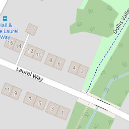
| Laurel Way, Totteridge, London, N20 | £ 950,000 | BUY | 6 / 10 | 0.18 KM |
| Guildown Avenue, Woodside Park | £ 900,000 | BUY | 6 / 10 | 0.21 KM |
Nearby Properties
| Address | Price | Distance |
|---|---|---|
| 12 Rogers Walk | £ 190,000 | 0.00 KM |
| 4 Rogers Walk | £ 395,000 | 0.00 KM |
| 11 Rogers Walk | £ 86,000 | 0.00 KM |
| 17 Rogers Walk | £ 347,000 | 0.00 KM |
| 16 Laurel View | £ 178,000 | 0.05 KM |