UN
2 Brendon
£ 110,000
Description
We don't have a Description for this property.
- Bedrooms
- 3
- Bathrooms
- 0
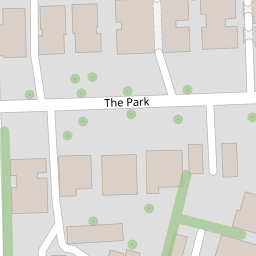
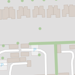
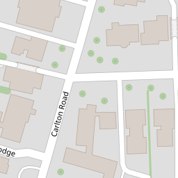
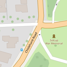

Leaflet © OpenStreetMap contributors
The heatmap indicates the level of crime in the area. The color of the heatmap indicates the crime severity and recency.
Metrics Year-on-Year
- Average area value
- 570,902.00 £Increased by 10.45 %
- Average area rental value
- 1,557.00 £/moIncreased by 16.89 %
- Est rental Yield
- 3.27 %Increased by 5.83 %
- Crime Rate
- 7.00 %Unchanged by 0.00 %
from 516,904.00 £
from 1,332.00 £/mo
from 3.09 %
from 7.00 %
Nearby Schools
| Name | Type | Ofsted | Distance |
|---|---|---|---|
| Benedict House Preparatory School | Other Independent School | Good | 0.54 KM |
| The Oval | Children's Centre Linked Site | 0.61 KM | |
| West Lodge School | Other Independent School | 0.66 KM | |
| Birkbeck Primary School | Community School | Good | 1.16 KM |
| Chislehurst School For Girls | Academy Converter | Good | 1.24 KM |
Images
Nearby Streets
| Name | Average Price | Average Sqft | Distance |
|---|---|---|---|
| Willow Tree Court | £ 0 | 0 | 0.00 KM |
| Sandhurst Road | £ 0 | 0 | 0.00 KM |
| Aston Close | £ 0 | 0 | 0.00 KM |
| Grange Close | £ 320,000 | 0 | 0.00 KM |
| Ham Shades Close | £ 295,750 | 0 | 0.00 KM |
Nearby Transport
| Name | NLC | TLC | Distance |
|---|---|---|---|
| Sidcup | 5125 | SID | 1.23 KM |
| Albany Park | 5132 | AYP | 3.21 KM |
| St Mary Cray | 5073 | SMY | 3.34 KM |
| New Eltham | 5119 | NEH | 3.53 KM |
| Falconwood | 5137 | FCN | 4.50 KM |
Nearby Listings
| Address | Price | Type | Score | Distance |
|---|---|---|---|---|
| The Park, Sidcup, DA14 6DD | £ 300,000 | BUY | 5 / 10 | 0.00 KM |
| The Park, Sidcup | £ 209,995 | BUY | 5 / 10 | 0.06 KM |
| Glenwood Court, The Park, Sidcup, DA14 6DQ | £ 130,000 | BUY | 4 / 10 | 0.06 KM |
| Carlton Road, Sidcup, DA14 | £ 250,000 | BUY | Unknown | 0.07 KM |
| The Park, Sidcup, Kent, DA14 | £ 260,000 | BUY | 7 / 10 | 0.08 KM |