UN
4 Aston Close
£ 220,000
Description
We don't have a Description for this property.
- Bedrooms
- 2
- Bathrooms
- 0
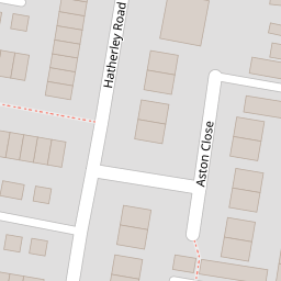
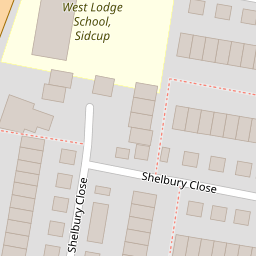
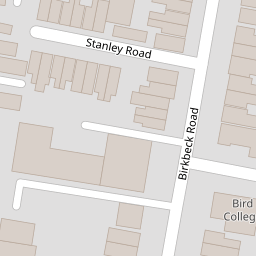

Leaflet © OpenStreetMap contributors
The heatmap indicates the level of crime in the area. The color of the heatmap indicates the crime severity and recency.
Metrics Year-on-Year
- Average area value
- 423,417.00 £Decreased by 4.71 %
- Average area rental value
- 1,573.00 £/moDecreased by 1.75 %
- Est rental Yield
- 4.46 %Increased by 3.24 %
- Crime Rate
- 6.00 %Unchanged by 0.00 %
from 444,363.00 £
from 1,601.00 £/mo
from 4.32 %
from 6.00 %
Nearby Schools
| Name | Type | Ofsted | Distance |
|---|---|---|---|
| West Lodge School | Other Independent School | 0.25 KM | |
| Birkbeck Primary School | Community School | Good | 0.42 KM |
| Benedict House Preparatory School | Other Independent School | Good | 0.53 KM |
| Chislehurst And Sidcup Grammar School | Academy Converter | Good | 0.91 KM |
| Holy Trinity Lamorbey Church Of England School | Academy Converter | Good | 0.98 KM |
Images
Nearby Streets
| Name | Average Price | Average Sqft | Distance |
|---|---|---|---|
| Aston Close | £ 0 | 0 | 0.00 KM |
| Sandhurst Road | £ 0 | 0 | 0.00 KM |
| Grange Close | £ 320,000 | 0 | 0.00 KM |
| Kingsmead Close | £ 0 | 0 | 0.00 KM |
| Ham Shades Close | £ 295,750 | 0 | 0.00 KM |
Nearby Transport
| Name | NLC | TLC | Distance |
|---|---|---|---|
| Sidcup | 5125 | SID | 0.59 KM |
| Albany Park | 5132 | AYP | 2.52 KM |
| St Mary Cray | 5073 | SMY | 3.77 KM |
| New Eltham | 5119 | NEH | 3.85 KM |
| Welling | 5128 | WLI | 4.04 KM |
Nearby Listings
| Address | Price | Type | Score | Distance |
|---|---|---|---|---|
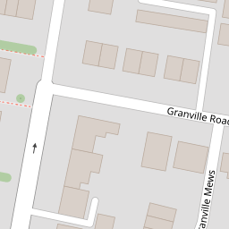
| Granville Road, Sidcup | £ 300,000 | BUY | Unknown | 0.06 KM |
| Granville Road, Sidcup | £ 310,000 | BUY | 5 / 10 | 0.07 KM |
| Hatherley Road, Sidcup, DA14 | £ 235,000 | BUY | 6 / 10 | 0.08 KM |
| Kings Court, Hatherley Road, Sidcup, DA14 4AT | £ 240,000 | BUY | Unknown | 0.09 KM |
| Hatherley Road, Sidcup, DA14 4AT | £ 240,000 | BUY | 6 / 10 | 0.09 KM |
Nearby Properties
| Address | Price | Distance |
|---|---|---|
| 7 Aston Close | £ 295,000 | 0.00 KM |
| 4 Aston Close | £ 220,000 | 0.00 KM |
| 12 Aston Close | £ 282,500 | 0.00 KM |
| 11 Aston Close | £ 195,000 | 0.00 KM |
| 1 Aston Close | £ 170,000 | 0.00 KM |