UN
19 Eynswood Drive
£ 280,000
Description
We don't have a Description for this property.
- Bedrooms
- 3
- Bathrooms
- 0
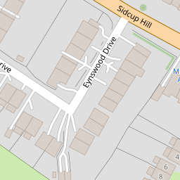
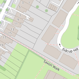

Leaflet © OpenStreetMap contributors
The heatmap indicates the level of crime in the area. The color of the heatmap indicates the crime severity and recency.
Metrics Year-on-Year
- Average area value
- 456,667.00 £Decreased by 3.43 %
- Average area rental value
- 2,099.00 £/moIncreased by 30.13 %
- Est rental Yield
- 5.52 %Increased by 34.96 %
- Crime Rate
- 7.00 %Unchanged by 0.00 %
from 472,875.00 £
from 1,613.00 £/mo
from 4.09 %
from 7.00 %
Nearby Schools
| Name | Type | Ofsted | Distance |
|---|---|---|---|
| Merton Court School | Other Independent School | 0.39 KM | |
| St Peter Chanel Catholic Primary School | Voluntary Aided School | Good | 0.47 KM |
| Hope Community School | Free Schools | Requires improvement | 0.72 KM |
| Kemnal Technology College | Academy Converter | Serious Weaknesses | 0.98 KM |
| Cleeve Park School | Academy Converter | Requires improvement | 1.21 KM |
Images
Nearby Streets
| Name | Average Price | Average Sqft | Distance |
|---|---|---|---|
| Sedcombe Close | £ 799,999 | 0 | 0.00 KM |
| Warren Road | £ 625,000 | 0 | 0.00 KM |
| Penny Farthing Bridge | £ 0 | 0 | 0.00 KM |
| Aston Close | £ 0 | 0 | 0.00 KM |
| St George's Road | £ 0 | 0 | 0.00 KM |
Nearby Transport
| Name | NLC | TLC | Distance |
|---|---|---|---|
| Sidcup | 5125 | SID | 1.82 KM |
| Albany Park | 5132 | AYP | 2.21 KM |
| St Mary Cray | 5073 | SMY | 2.92 KM |
| Bexley | 5093 | BXY | 4.47 KM |
| New Eltham | 5119 | NEH | 5.09 KM |
Nearby Listings
| Address | Price | Type | Score | Distance |
|---|---|---|---|---|
| Eynswood Drive, Sidcup, DA14 6JQ | £ 575,000 | BUY | 7 / 10 | 0.00 KM |
| Eynswood Drive, Sidcup | £ 625,000 | BUY | 8 / 10 | 0.06 KM |
| Eynswood Drive, Sidcup, Kent, DA14 | £ 500,000 | BUY | 6 / 10 | 0.07 KM |
| Sidcup Hill, Sidcup, DA14 | £ 250,000 | BUY | Unknown | 0.17 KM |
| Eynswood Drive, Sidcup | £ 550,000 | BUY | Unknown | 0.20 KM |
Nearby Properties
| Address | Price | Distance |
|---|---|---|
| 5 Eynswood Drive | £ 380,000 | 0.00 KM |
| 4 Eynswood Drive | £ 360,000 | 0.00 KM |
| 18 Eynswood Drive | £ 310,000 | 0.00 KM |
| 23 Eynswood Drive | £ 250,000 | 0.00 KM |
| 19 Eynswood Drive | £ 280,000 | 0.00 KM |