UN
45 Severn Way
£ 545,000
Description
We don't have a Description for this property.
- Bedrooms
- 3
- Bathrooms
- 0
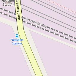
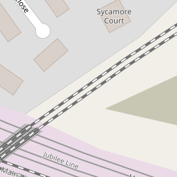
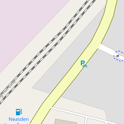

Leaflet © OpenStreetMap contributors
The heatmap indicates the level of crime in the area. The color of the heatmap indicates the crime severity and recency.
Metrics Year-on-Year
- Average area value
- 601,250.00 £Decreased by 12.11 %
- Average area rental value
- 2,507.00 £/moIncreased by 10.78 %
- Est rental Yield
- 5.00 %Increased by 25.94 %
- Crime Rate
- 2.00 %Unchanged by 0.00 %
from 684,061.00 £
from 2,263.00 £/mo
from 3.97 %
from 2.00 %
Nearby Schools
| Name | Type | Ofsted | Distance |
|---|---|---|---|
| Northview Junior And Infant School | Community School | Good | 0.33 KM |
| St Mary'S Cofe Primary School | Voluntary Aided School | Good | 0.71 KM |
| Curzon Nursery School & Family Wellbeing Centre | Local Authority Nursery School | Good | 0.90 KM |
| Curzon Crescent Children'S Centre | Children's Centre | 0.90 KM | |
| Leopold Primary School | Community School | Good | 0.93 KM |
Images
Nearby Streets
| Name | Average Price | Average Sqft | Distance |
|---|---|---|---|
| Northview Crescent | £ 0 | 0 | 0.00 KM |
| Prout Grove | £ 570,000 | 0 | 0.00 KM |
| Bourke Close | £ 350,000 | 0 | 0.00 KM |
| Roundwood Road | £ 700,000 | 0 | 0.00 KM |
| Suffolk Road | £ 560,000 | 0 | 0.00 KM |
Nearby Transport
| Name | NLC | TLC | Distance |
|---|---|---|---|
| Harlesden | 1521 | HDN | 2.15 KM |
| Willesden Junction | 1457 | WIJ | 2.28 KM |
| Hendon | 1522 | HEN | 3.19 KM |
| Stonebridge Park | 1454 | SBP | 3.28 KM |
| Kensal Green | 1447 | KNL | 3.50 KM |
Nearby Listings
| Address | Price | Type | Score | Distance |
|---|---|---|---|---|
| Westview Close, Neasden, London, NW10 | £ 385,000 | BUY | Unknown | 0.10 KM |
| 27 Selbie Avenue, Neasden, London, NW10 2UT | £ 230,000 | BUY | 6 / 10 | 0.11 KM |
| Denzil Road, Willesden | £ 750,000 | BUY | 6 / 10 | 0.12 KM |
| Denzil Road, London, NW10 | £ 625,000 | BUY | 6 / 10 | 0.13 KM |
| Westview Close, Neasden | £ 375,000 | BUY | 6 / 10 | 0.13 KM |
Nearby Properties
| Address | Price | Distance |
|---|---|---|
| 15 Severn Way | £ 176,000 | 0.00 KM |
| 13 Severn Way | £ 322,500 | 0.00 KM |
| 45 Severn Way | £ 545,000 | 0.00 KM |
| 43 Severn Way | £ 314,000 | 0.00 KM |
| 37 Severn Way | £ 237,000 | 0.00 KM |