UN
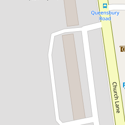
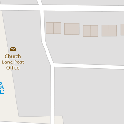
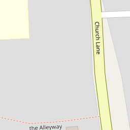
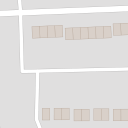
278a Church Lane
£ 107,500
Description
We don't have a Description for this property.
- Bedrooms
- 0
- Bathrooms
- 0
- Furnished
- true

Leaflet © OpenStreetMap contributors
The heatmap indicates the level of crime in the area. The color of the heatmap indicates the crime severity and recency.
Metrics Year-on-Year
- Average area value
- 458,515.00 £Decreased by 25.28 %
- Average area rental value
- 1,927.00 £/moDecreased by 7.04 %
- Est rental Yield
- 5.04 %Increased by 24.44 %
- Crime Rate
- 14.00 %Unchanged by 0.00 %
from 613,622.00 £
from 2,073.00 £/mo
from 4.05 %
from 14.00 %
Nearby Schools
| Name | Type | Ofsted | Distance |
|---|---|---|---|
| Fryent Primary School | Community School | Good | 0.31 KM |
| Church Lane Children'S Centre | Children's Centre | 0.34 KM | |
| Bnos Beis Yaakov Primary School | Other Independent School | Good | 0.87 KM |
| St Nicholas School | Other Independent School | 0.93 KM | |
| Woodfield School | Academy Special Converter | Outstanding | 0.98 KM |
Images
Nearby Streets
| Name | Average Price | Average Sqft | Distance |
|---|---|---|---|
| Holly Grove | £ 0 | 0 | 0.00 KM |
| Stewart Close | £ 825,000 | 0 | 0.00 KM |
| Green Close | £ 0 | 0 | 0.00 KM |
| Daisy Close | £ 0 | 0 | 0.00 KM |
| Ken Way | £ 365,000 | 0 | 0.00 KM |
Nearby Transport
| Name | NLC | TLC | Distance |
|---|---|---|---|
| Hendon | 1522 | HEN | 2.67 KM |
| Wembley Stadium | 1509 | WCX | 3.45 KM |
| Stonebridge Park | 1454 | SBP | 3.75 KM |
| Harlesden | 1521 | HDN | 4.33 KM |
| Mill Hill Broadway | 1527 | MIL | 4.49 KM |
Nearby Listings
| Address | Price | Type | Score | Distance |
|---|---|---|---|---|
| Sycamore Grove, Kingsbury, London, NW9 | £ 525,000 | BUY | Unknown | 0.14 KM |
| Mallard Court, Mallard Way, London, NW9 | £ 325,000 | BUY | Unknown | 0.15 KM |
| Queensbury Road, Kingsbury, London, NW9 | £ 650,000 | BUY | Unknown | 0.24 KM |
| Hyde Court, Church Lane, Kingsbury, London, NW9 | £ 295,000 | BUY | Unknown | 0.29 KM |
| Meadowbank Road, Kingsbury, London, NW9 | £ 540,000 | BUY | 6 / 10 | 0.31 KM |
Nearby Properties
| Address | Price | Distance |
|---|---|---|
| 278a Church Lane | £ 107,500 | 0.00 KM |
| 260a Church Lane | £ 130,000 | 0.00 KM |
| 256a Church Lane | £ 320,000 | 0.09 KM |
| 254 Church Lane | £ 233,500 | 0.09 KM |
| 250a Church Lane | £ 255,000 | 0.09 KM |