UN
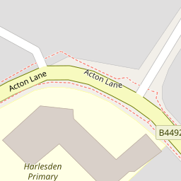
56 Acton Lane
£ 350,000
Description
We don't have a Description for this property.
- Bedrooms
- 3
- Bathrooms
- 0
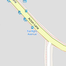

Leaflet © OpenStreetMap contributors
The heatmap indicates the level of crime in the area. The color of the heatmap indicates the crime severity and recency.
Metrics Year-on-Year
- Average area value
- 561,039.00 £Increased by 23.74 %
- Average area rental value
- 2,333.00 £/moIncreased by 27.35 %
- Est rental Yield
- 4.99 %Increased by 2.89 %
- Crime Rate
- 11.00 %Unchanged by 0.00 %
from 453,385.00 £
from 1,832.00 £/mo
from 4.85 %
from 11.00 %
Nearby Schools
| Name | Type | Ofsted | Distance |
|---|---|---|---|
| Harlesden Primary School | Community School | Requires improvement | 0.17 KM |
| Harmony Children'S Centre | Children's Centre | 0.63 KM | |
| John Keble Cofe Primary School | Voluntary Aided School | Good | 0.71 KM |
| Saint Claudine'S Catholic School For Girls | Academy Converter | Good | 0.77 KM |
| Maple Walk School | Other Independent School | 0.83 KM |
Images
Nearby Streets
| Name | Average Price | Average Sqft | Distance |
|---|---|---|---|
| St Albans Road | £ 478,000 | 0 | 0.00 KM |
| Park Road | £ 325,000 | 0 | 0.00 KM |
| Station Road | £ 0 | 0 | 0.00 KM |
| Washbourne Road | £ 450,000 | 0 | 0.00 KM |
| Lawrence Avenue | £ 0 | 0 | 0.00 KM |
Nearby Transport
| Name | NLC | TLC | Distance |
|---|---|---|---|
| Harlesden | 1521 | HDN | 0.48 KM |
| Willesden Junction | 1457 | WIJ | 1.08 KM |
| Stonebridge Park | 1454 | SBP | 2.62 KM |
| Acton Main Line | 3000 | AML | 2.63 KM |
| Kensal Green | 1447 | KNL | 3.20 KM |
Nearby Listings
| Address | Price | Type | Score | Distance |
|---|---|---|---|---|
| Acton Lane, Harlesden, London, NW10 | £ 450,000 | BUY | 4 / 10 | 0.00 KM |
| 52 Acton Lane, London, NW10 | £ 2,690,000 | BUY | Unknown | 0.00 KM |
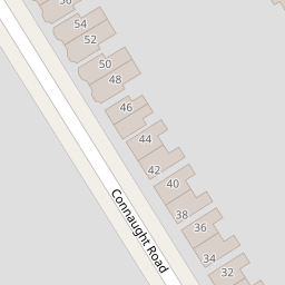
| Connaught Road, Harlesden, London, NW10 | £ 350,000 | BUY | 5 / 10 | 0.09 KM |
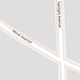
| Minet Avenue, Harlesden | £ 550,000 | BUY | Unknown | 0.11 KM |
| Minet Avenue, Harlesden | £ 550,000 | BUY | Unknown | 0.11 KM |
Nearby Properties
| Address | Price | Distance |
|---|---|---|
| 58 Acton Lane | £ 770,000 | 0.00 KM |
| 70a Acton Lane | £ 195,000 | 0.00 KM |
| 56 Acton Lane | £ 350,000 | 0.00 KM |
| 66 Acton Lane | £ 153,000 | 0.00 KM |
| 64b Acton Lane | £ 375,000 | 0.00 KM |