UN
1a Streatley Road
£ 337,500
Description
We don't have a Description for this property.
- Bedrooms
- 0
- Bathrooms
- 0
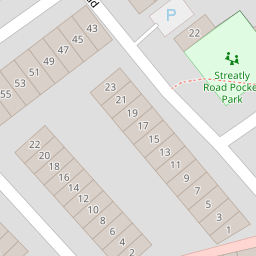
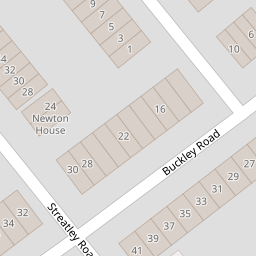
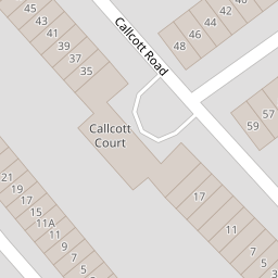
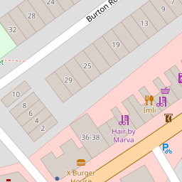
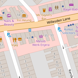
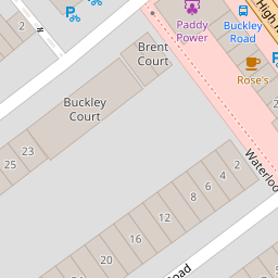
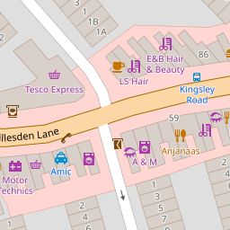
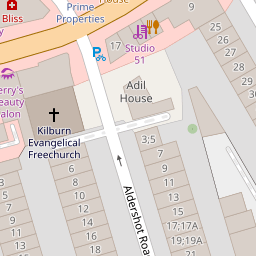

Leaflet © OpenStreetMap contributors
The heatmap indicates the level of crime in the area. The color of the heatmap indicates the crime severity and recency.
Metrics Year-on-Year
- Average area value
- 598,568.00 £Decreased by 21.57 %
- Average area rental value
- 2,229.00 £/moIncreased by 6.80 %
- Est rental Yield
- 4.47 %Increased by 36.28 %
- Crime Rate
- 11.00 %Unchanged by 0.00 %
from 763,225.00 £
from 2,087.00 £/mo
from 3.28 %
from 11.00 %
Nearby Schools
| Name | Type | Ofsted | Distance |
|---|---|---|---|
| Christ Church Cofe Primary School | Voluntary Aided School | Good | 0.38 KM |
| Kilburn Grange School | Free Schools | Good | 0.47 KM |
| Kilburn Grange Childrens Centre | Children's Centre | 0.50 KM | |
| Kingsgate Primary School | Community School | Outstanding | 0.52 KM |
| Salusbury Primary School | Community School | Good | 0.69 KM |
Images
Nearby Streets
| Name | Average Price | Average Sqft | Distance |
|---|---|---|---|
| Aldershot Road | £ 0 | 0 | 0.00 KM |
| Grangeway | £ 0 | 0 | 0.00 KM |
| Gladstone Mews | £ 0 | 0 | 0.00 KM |
| Kilburn High Road | £ 0 | 0 | 0.00 KM |
| Coral Mews | £ 0 | 0 | 0.00 KM |
Nearby Transport
| Name | NLC | TLC | Distance |
|---|---|---|---|
| Brondesbury | 1437 | BSY | 0.42 KM |
| Queens Park (London) | 1419 | QPW | 0.94 KM |
| Brondesbury Park | 1438 | BSP | 0.99 KM |
| Kilburn High Road | 1415 | KBN | 1.10 KM |
| West Hampstead | 1421 | WHD | 1.29 KM |
Nearby Listings
| Address | Price | Type | Score | Distance |
|---|---|---|---|---|
| Streatley Road, London | £ 375,000 | BUY | 5 / 10 | 0.02 KM |
| Streatley Road, Queen's Park | £ 2,000,000 | BUY | 7 / 10 | 0.04 KM |
| Buckley Road, Brondesbury Park | £ 549,950 | BUY | 5 / 10 | 0.06 KM |
| Willesden Lane, London , NW6 7SX | £ 975,000 | BUY | 5 / 10 | 0.07 KM |
| Buckley Road, Queens Park | £ 475,000 | BUY | Unknown | 0.09 KM |
Nearby Properties
| Address | Price | Distance |
|---|---|---|
| 1a Streatley Road | £ 337,500 | 0.00 KM |
| 13 Streatley Road | £ 1,615,000 | 0.02 KM |
| 57 Buckley Road | £ 490,000 | 0.07 KM |
| 70a - 70d Willesden Lane | £ 200,000 | 0.07 KM |
| 47c Buckley Road | £ 390,000 | 0.07 KM |