UN
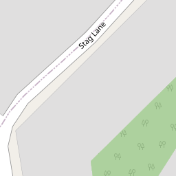
17 Stag Lane
£ 199,950
Description
We don't have a Description for this property.
- Bedrooms
- 3
- Bathrooms
- 0
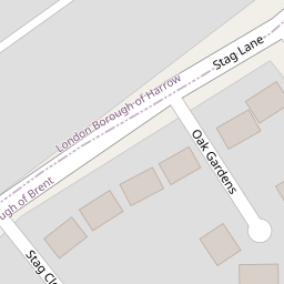
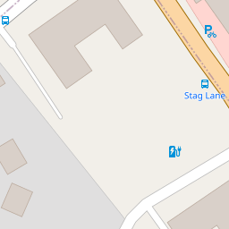

Leaflet © OpenStreetMap contributors
The heatmap indicates the level of crime in the area. The color of the heatmap indicates the crime severity and recency.
Metrics Year-on-Year
- Average area value
- 366,409.00 £Increased by 11.74 %
- Average area rental value
- 1,829.00 £/moIncreased by 22.18 %
- Est rental Yield
- 5.99 %Increased by 9.31 %
- Crime Rate
- 18.00 %Unchanged by 0.00 %
from 327,924.00 £
from 1,497.00 £/mo
from 5.48 %
from 18.00 %
Nearby Schools
| Name | Type | Ofsted | Distance |
|---|---|---|---|
| Shalom Noam Primary School | Voluntary Aided School | 0.35 KM | |
| Barnfield Primary School | Community School | Outstanding | 0.40 KM |
| Silkstream Children'S Centre | Children's Centre | 0.41 KM | |
| The Northgate School | Miscellaneous | 0.80 KM | |
| Northgate School | Pupil Referral Unit | Outstanding | 0.80 KM |
Images
Nearby Streets
| Name | Average Price | Average Sqft | Distance |
|---|---|---|---|
| Barnfield Road | £ 0 | 0 | 0.00 KM |
| Columbia Avenue | £ 349,950 | 0 | 0.00 KM |
| Compton Close | £ 339,000 | 0 | 0.00 KM |
| A5 | £ 441,650 | 0 | 0.00 KM |
| Westfield Close | £ 0 | 0 | 0.00 KM |
Nearby Transport
| Name | NLC | TLC | Distance |
|---|---|---|---|
| Mill Hill Broadway | 1527 | MIL | 2.57 KM |
| Hendon | 1522 | HEN | 3.92 KM |
| Wembley Stadium | 1509 | WCX | 5.40 KM |
| South Kenton | 1453 | SOK | 5.54 KM |
| North Wembley | 1422 | NWB | 5.72 KM |
Nearby Listings
| Address | Price | Type | Score | Distance |
|---|---|---|---|---|
| Stag Lane, Edgware | £ 325,000 | BUY | 7 / 10 | 0.05 KM |
| Stag Lane, Edgware, HA8 | £ 280,000 | BUY | 7 / 10 | 0.05 KM |
| ICON - Burnt Oak Broadway | £ 148,750 | BUY | 6 / 10 | 0.17 KM |
| Oakleigh Court, Edgware | £ 650,000 | BUY | 7 / 10 | 0.24 KM |
| The Highlands, Edgware | £ 575,000 | BUY | Unknown | 0.25 KM |
Nearby Properties
| Address | Price | Distance |
|---|---|---|
| 17 Stag Lane | £ 199,950 | 0.00 KM |
| 6 Oak Gardens | £ 285,000 | 0.05 KM |
| 5 Oak Gardens | £ 150,000 | 0.05 KM |
| 8 Oak Gardens | £ 425,000 | 0.05 KM |
| 33b Burnt Oak Broadway | £ 150,000 | 0.11 KM |