UN
22 Garden Way
£ 290,000
Description
We don't have a Description for this property.
- Bedrooms
- 3
- Bathrooms
- 0
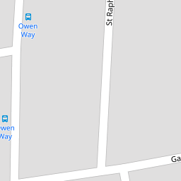
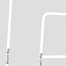
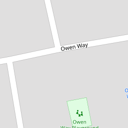
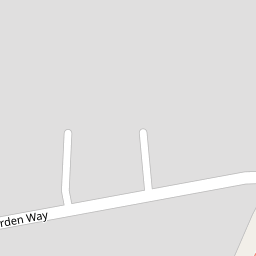

Leaflet © OpenStreetMap contributors
The heatmap indicates the level of crime in the area. The color of the heatmap indicates the crime severity and recency.
Metrics Year-on-Year
- Average area value
- 388,110.00 £Increased by 5.19 %
- Average area rental value
- 1,741.00 £/moDecreased by 3.44 %
- Est rental Yield
- 5.38 %Decreased by 8.19 %
- Crime Rate
- 5.00 %Unchanged by 0.00 %
from 368,969.00 £
from 1,803.00 £/mo
from 5.86 %
from 5.00 %
Nearby Schools
| Name | Type | Ofsted | Distance |
|---|---|---|---|
| St Raphaels Children'S Centre | Children's Centre | 0.29 KM | |
| Phoenix Arch School | Community Special School | Good | 0.38 KM |
| Brentfield Primary School | Community School | Good | 0.48 KM |
| Edith Kay Independent School | Other Independent Special School | Good | 0.56 KM |
| Oakington Manor Primary School | Academy Converter | 0.73 KM |
Images
Nearby Streets
| Name | Average Price | Average Sqft | Distance |
|---|---|---|---|
| Kestrel Close | £ 0 | 0 | 0.00 KM |
| Barrs Road | £ 550,000 | 0 | 0.00 KM |
| Stonebridge Park | £ 350,000 | 0 | 0.00 KM |
| James Dudson Court | £ 375,000 | 0 | 0.00 KM |
| Tallis View | £ 0 | 0 | 0.00 KM |
Nearby Transport
| Name | NLC | TLC | Distance |
|---|---|---|---|
| Stonebridge Park | 1454 | SBP | 1.43 KM |
| Harlesden | 1521 | HDN | 1.78 KM |
| Wembley Stadium | 1509 | WCX | 2.34 KM |
| Willesden Junction | 1457 | WIJ | 3.02 KM |
| Wembley Central | 1423 | WMB | 3.51 KM |
Nearby Listings
| Address | Price | Type | Score | Distance |
|---|---|---|---|---|
| Besant Way, Neasden | £ 375,000 | BUY | Unknown | 0.07 KM |
| St Raphaels Way, Neasden, London, NW10 | £ 700,000 | BUY | 6 / 10 | 0.11 KM |
| Besant Way, London, NW10 | £ 350,000 | BUY | Unknown | 0.13 KM |
| Mead Plat, Neasden, London, NW10 | £ 675,000 | BUY | Unknown | 0.14 KM |
| Besant Way, Neasden, London | £ 350,000 | BUY | 6 / 10 | 0.17 KM |
Nearby Properties
| Address | Price | Distance |
|---|---|---|
| 22 Garden Way | £ 290,000 | 0.00 KM |
| 117 Pitfield Way | £ 210,000 | 0.09 KM |
| 75 Pitfield Way | £ 135,000 | 0.09 KM |
| 92 Pitfield Way | £ 312,000 | 0.09 KM |
| 65 Pitfield Way | £ 110,000 | 0.09 KM |