UN
2 Herne Close
£ 213,500
Description
We don't have a Description for this property.
- Bedrooms
- 3
- Bathrooms
- 0
- Furnished
- true
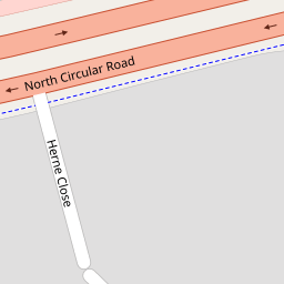
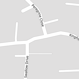
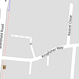

Leaflet © OpenStreetMap contributors
The heatmap indicates the level of crime in the area. The color of the heatmap indicates the crime severity and recency.
Metrics Year-on-Year
- Average area value
- 326,875.00 £Decreased by 12.86 %
- Average area rental value
- 1,658.00 £/moDecreased by 2.13 %
- Est rental Yield
- 6.09 %Increased by 12.36 %
- Crime Rate
- 6.00 %Unchanged by 0.00 %
from 375,128.00 £
from 1,694.00 £/mo
from 5.42 %
from 6.00 %
Nearby Schools
| Name | Type | Ofsted | Distance |
|---|---|---|---|
| Mitchell Brook Primary School | Community School | Outstanding | 0.45 KM |
| Phoenix Arch School | Community Special School | Good | 0.47 KM |
| Brentfield Primary School | Community School | Good | 0.68 KM |
| Edith Kay Independent School | Other Independent Special School | Good | 0.69 KM |
| St Mary'S Cofe Primary School | Voluntary Aided School | Good | 0.85 KM |
Images
Nearby Streets
| Name | Average Price | Average Sqft | Distance |
|---|---|---|---|
| Kestrel Close | £ 0 | 0 | 0.00 KM |
| Tallis View | £ 0 | 0 | 0.00 KM |
| Walton Drive | £ 0 | 0 | 0.00 KM |
| Beckett Close | £ 390,000 | 0 | 0.00 KM |
| Stonebridge Park | £ 350,000 | 0 | 0.00 KM |
Nearby Transport
| Name | NLC | TLC | Distance |
|---|---|---|---|
| Harlesden | 1521 | HDN | 1.71 KM |
| Stonebridge Park | 1454 | SBP | 2.03 KM |
| Willesden Junction | 1457 | WIJ | 2.67 KM |
| Wembley Stadium | 1509 | WCX | 2.95 KM |
| Hendon | 1522 | HEN | 3.89 KM |
Nearby Listings
| Address | Price | Type | Score | Distance |
|---|---|---|---|---|
| Swallow Drive, London, NW10 | £ 320,000 | BUY | Unknown | 0.06 KM |
| Kingfisher Way NW10 | £ 250,000 | BUY | 6 / 10 | 0.08 KM |
| Kestrel Close, Neasden | £ 170,000 | BUY | Unknown | 0.10 KM |
| Kestrel Close, Neasden | £ 270,000 | BUY | 5 / 10 | 0.12 KM |
| Cygnet Close, Neasden | £ 300,000 | BUY | 5 / 10 | 0.12 KM |
Nearby Properties
| Address | Price | Distance |
|---|---|---|
| 2 Herne Close | £ 213,500 | 0.00 KM |
| 12 Peregrine Close | £ 225,000 | 0.04 KM |
| 11 Peregrine Close | £ 183,000 | 0.04 KM |
| 3 Herne Close | £ 249,750 | 0.05 KM |
| 5 Herne Close | £ 249,950 | 0.05 KM |