UN
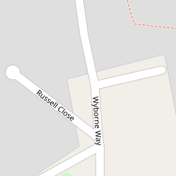
3 Wyborne Way
£ 450,000
Description
We don't have a Description for this property.
- Bedrooms
- 3
- Bathrooms
- 0

Leaflet © OpenStreetMap contributors
The heatmap indicates the level of crime in the area. The color of the heatmap indicates the crime severity and recency.
Metrics Year-on-Year
- Average area value
- 326,875.00 £Decreased by 12.86 %
- Average area rental value
- 1,658.00 £/moDecreased by 2.13 %
- Est rental Yield
- 6.09 %Increased by 12.36 %
- Crime Rate
- 6.00 %Unchanged by 0.00 %
from 375,128.00 £
from 1,694.00 £/mo
from 5.42 %
from 6.00 %
Nearby Schools
| Name | Type | Ofsted | Distance |
|---|---|---|---|
| Our Lady Of Lourdes Catholic Primary School | Voluntary Aided School | Good | 0.59 KM |
| St Raphaels Children'S Centre | Children's Centre | 0.70 KM | |
| Fawood Nursery School & Family Wellbeing Centre | Local Authority Nursery School | Good | 0.70 KM |
| Brentfield Primary School | Community School | Good | 0.71 KM |
| The Stonebridge School | Community School | Good | 0.72 KM |
Images
Nearby Streets
| Name | Average Price | Average Sqft | Distance |
|---|---|---|---|
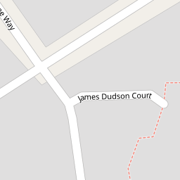
| James Dudson Court | £ 375,000 | 0 | 0.00 KM |
| Macarthur Close | £ 0 | 0 | 0.00 KM |
| Marshall Street | £ 0 | 0 | 0.00 KM |
| Barrs Road | £ 550,000 | 0 | 0.00 KM |
| Stonebridge Park | £ 350,000 | 0 | 0.00 KM |
Nearby Transport
| Name | NLC | TLC | Distance |
|---|---|---|---|
| Stonebridge Park | 1454 | SBP | 0.77 KM |
| Harlesden | 1521 | HDN | 1.54 KM |
| Wembley Stadium | 1509 | WCX | 2.15 KM |
| Willesden Junction | 1457 | WIJ | 3.00 KM |
| Acton Main Line | 3000 | AML | 3.05 KM |
Nearby Listings
| Address | Price | Type | Score | Distance |
|---|---|---|---|---|
| First Drive, Stonebridge NW10 | £ 500,000 | BUY | 6 / 10 | 0.22 KM |
| Conduit Way, Harlesden, London NW10 | £ 620,000 | BUY | 5 / 10 | 0.23 KM |
| NW10 | £ 485,000 | BUY | 6 / 10 | 0.39 KM |
| Mandela Close, Harlesden, NW10 | £ 275,000 | BUY | Unknown | 0.40 KM |
| Hilltop Avenue, Stonebridge, London, NW10 | £ 282,000 | BUY | Unknown | 0.43 KM |
Nearby Properties
| Address | Price | Distance |
|---|---|---|
| 3 Wyborne Way | £ 450,000 | 0.00 KM |
| 15 Wyborne Way | £ 245,000 | 0.00 KM |
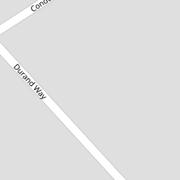
| 11 Durand Way | £ 220,000 | 0.17 KM |
| 7 Durand Way | £ 210,000 | 0.17 KM |
| 4 Foxholt Gardens | £ 245,000 | 0.18 KM |