UN
4 Dykes Way
£ 440,000
Description
We don't have a Description for this property.
- Bedrooms
- 3
- Bathrooms
- 0
- Sqft
- 1,033.00

Leaflet © OpenStreetMap contributors
The heatmap indicates the level of crime in the area. The color of the heatmap indicates the crime severity and recency.
Metrics Year-on-Year
- Average area value
- 667,500.00 £Decreased by 9.19 %
- Est sale value
- 557,820.00 £Decreased by 17.56 %
- Average area rental value
- 1,887.00 £/moIncreased by 5.48 %
- Est letting value
- 1,033.00 £/moUnchanged by 0.00 %
- Est rental Yield
- 3.39 %Increased by 16.10 %
- Crime Rate
- 3.00 %Unchanged by 0.00 %
from 735,058.00 £
from 676,615.00 £
from 1,789.00 £/mo
from 1,033.00 £/mo
from 2.92 %
from 3.00 %
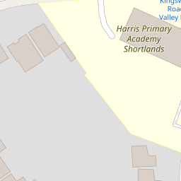
Nearby Schools
| Name | Type | Ofsted | Distance |
|---|---|---|---|
| Harris Primary Academy Shortlands | Free Schools | Outstanding | 0.15 KM |
| Highfield Infants' School | Academy Converter | 0.55 KM | |
| Valley Primary School | Academy Converter | Good | 0.62 KM |
| Highfield Junior School | Academy Converter | 0.70 KM | |
| St Mark'S Church Of England Primary School | Academy Converter | Good | 0.75 KM |
Images
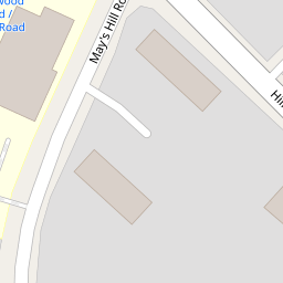
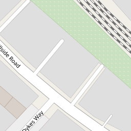
Nearby Streets
| Name | Average Price | Average Sqft | Distance |
|---|---|---|---|
| Queen's Mead Road | £ 299,995 | 0 | 0.00 KM |
| The Glen | £ 0 | 0 | 0.00 KM |
| Glebe Knoll | £ 0 | 0 | 0.00 KM |
| Castle Close | £ 785,000 | 0 | 0.00 KM |
| Treversh Court | £ 0 | 0 | 0.00 KM |
Nearby Transport
| Name | NLC | TLC | Distance |
|---|---|---|---|
| Shortlands | 5084 | SRT | 0.61 KM |
| Bromley South | 5064 | BMS | 1.35 KM |
| Bromley North | 5096 | BMN | 1.51 KM |
| Ravensbourne | 5083 | RVB | 1.99 KM |
| Sundridge Park | 5155 | SUP | 2.26 KM |
Nearby Listings
| Address | Price | Type | Score | Distance |
|---|---|---|---|---|
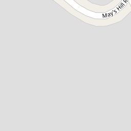
| Mays Hill Road, Bromley | £ 325,000 | BUY | 7 / 10 | 0.10 KM |
| Mays Hill Road, Bromley, BR2 | £ 375,000 | BUY | 8 / 10 | 0.10 KM |
| Hillside Road, Bromley | £ 250,000 | BUY | 6 / 10 | 0.11 KM |
| Hillside Road, Bromley, Kent, BR2 | £ 595,000 | BUY | 5 / 10 | 0.12 KM |
| Mays Hill Road, Bromley, BR2 | £ 325,000 | BUY | Unknown | 0.14 KM |
Nearby Properties
| Address | Price | Distance |
|---|---|---|
| 19 Dykes Way | £ 225,000 | 0.00 KM |
| 4 Dykes Way | £ 440,000 | 0.00 KM |
| 12 Dykes Way | £ 445,000 | 0.00 KM |
| 32 Hillside Road | £ 237,000 | 0.06 KM |
| 54 Hillside Road | £ 135,000 | 0.06 KM |