UN
135c The Vale
£ 174,000
Description
We don't have a Description for this property.
- Bedrooms
- 0
- Bathrooms
- 0
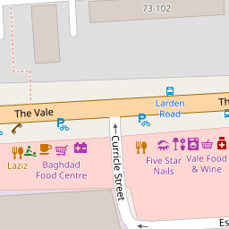
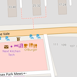


Leaflet © OpenStreetMap contributors
The heatmap indicates the level of crime in the area. The color of the heatmap indicates the crime severity and recency.
Metrics Year-on-Year
- Average area value
- 1,041,354.00 £Increased by 4.07 %
- Average area rental value
- 2,091.00 £/moIncreased by 6.25 %
- Est rental Yield
- 2.41 %Increased by 2.12 %
- Crime Rate
- 7.00 %Unchanged by 0.00 %
from 1,000,583.00 £
from 1,968.00 £/mo
from 2.36 %
from 7.00 %
Nearby Schools
| Name | Type | Ofsted | Distance |
|---|---|---|---|
| Acton Park Children'S Centre | Children's Centre Linked Site | 0.43 KM | |
| East Acton Primary School | Community School | Good | 0.61 KM |
| Southfield Primary School | Community School | Good | 0.64 KM |
| Wendell Park Primary School | Community School | Good | 0.66 KM |
| King Fahad Academy | Other Independent School | 0.69 KM |
Images
Nearby Streets
| Name | Average Price | Average Sqft | Distance |
|---|---|---|---|
| Larch Avenue | £ 0 | 0 | 0.00 KM |
| Jeddo Mews | £ 0 | 0 | 0.00 KM |
| Vale Grove | £ 425,000 | 0 | 0.00 KM |
| Uxbridge Road | £ 0 | 0 | 0.00 KM |
| The Vale/Uxbridge Road | £ 0 | 0 | 0.00 KM |
Nearby Transport
| Name | NLC | TLC | Distance |
|---|---|---|---|
| Acton Central | 1404 | ACC | 1.02 KM |
| Acton Main Line | 3000 | AML | 1.85 KM |
| South Acton | 1452 | SAT | 1.93 KM |
| Gunnersbury | 5588 | GUN | 2.86 KM |
| Willesden Junction | 1457 | WIJ | 3.09 KM |
Nearby Listings
| Address | Price | Type | Score | Distance |
|---|---|---|---|---|
| The Vale, London | £ 325,000 | BUY | 4 / 10 | 0.02 KM |
| The Vale, London | £ 240,000 | BUY | 5 / 10 | 0.02 KM |
| Essex Park Mews, London, W3 | £ 500,000 | BUY | 6 / 10 | 0.04 KM |
| The Vale, London, W3 7 | £ 200,000 | BUY | 5 / 10 | 0.08 KM |
| The Vale, London, W3 7 | £ 315,000 | BUY | 5 / 10 | 0.08 KM |
Nearby Properties
| Address | Price | Distance |
|---|---|---|
| 135c The Vale | £ 174,000 | 0.00 KM |
| 135b The Vale | £ 185,000 | 0.00 KM |
| 135d The Vale | £ 235,000 | 0.00 KM |
| 135e The Vale | £ 185,000 | 0.00 KM |
| 5 Larden Road | £ 585,000 | 0.10 KM |