UN
1 Wynchgate
£ 470,000
Description
We don't have a Description for this property.
- Bedrooms
- 1
- Bathrooms
- 0
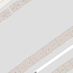
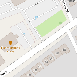
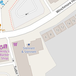
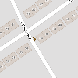

Leaflet © OpenStreetMap contributors
The heatmap indicates the level of crime in the area. The color of the heatmap indicates the crime severity and recency.
Metrics Year-on-Year
- Average area value
- 468,742.00 £Increased by 1.83 %
- Average area rental value
- 1,750.00 £/moIncreased by 3.12 %
- Est rental Yield
- 4.48 %Increased by 1.36 %
- Crime Rate
- 9.00 %Unchanged by 0.00 %
from 460,334.00 £
from 1,697.00 £/mo
from 4.42 %
from 9.00 %
Nearby Schools
| Name | Type | Ofsted | Distance |
|---|---|---|---|
| St Andrew'S Southgate Primary School (Ce) | Voluntary Aided School | Good | 0.41 KM |
| West Grove Primary | Community School | Good | 0.48 KM |
| North London Hospital School | Other Independent School | Outstanding | 0.69 KM |
| Wolfson Hillel Primary School | Academy Converter | 0.79 KM | |
| Walker Primary School | Academy Converter | 0.87 KM |
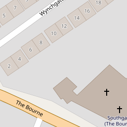
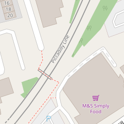
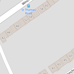
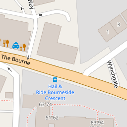
Images
Nearby Streets
| Name | Average Price | Average Sqft | Distance |
|---|---|---|---|
| High Street | £ 429,545 | 0 | 0.00 KM |
| Minchenden Court | £ 385,000 | 0 | 0.00 KM |
| Meadway | £ 1,550,000 | 0 | 0.00 KM |
| Greenway | £ 1,050,000 | 0 | 0.00 KM |
| Oxford Avenue | £ 1,175,000 | 0 | 0.00 KM |
Nearby Transport
| Name | NLC | TLC | Distance |
|---|---|---|---|
| Palmers Green | 6021 | PAL | 2.23 KM |
| Winchmore Hill | 6024 | WIH | 2.62 KM |
| Bowes Park | 6027 | BOP | 2.88 KM |
| New Southgate | 6019 | NSG | 2.90 KM |
| Grange Park | 6029 | GPK | 3.20 KM |
Nearby Listings
| Address | Price | Type | Score | Distance |
|---|---|---|---|---|
| Winchmore Hill Road, London | £ 160,000 | BUY | Unknown | 0.09 KM |
| Grange Gardens, London, N14 | £ 435,000 | BUY | Unknown | 0.13 KM |
| Grange Gardens, London | £ 450,000 | BUY | 6 / 10 | 0.16 KM |
| Grange Gardens, London, N14 | £ 425,000 | BUY | Unknown | 0.17 KM |
| Grange Gardens, London, N14 | £ 425,000 | BUY | Unknown | 0.17 KM |
Nearby Properties
| Address | Price | Distance |
|---|---|---|
| 1 Wynchgate | £ 470,000 | 0.00 KM |
| 7 Wynchgate | £ 950,000 | 0.00 KM |
| 13 Wynchgate | £ 825,000 | 0.00 KM |
| 20 Wynchgate | £ 150,000 | 0.05 KM |
| 28 Wynchgate | £ 900,000 | 0.05 KM |