UN
58 Cowper Road
£ 71,000
Description
We don't have a Description for this property.
- Bedrooms
- 2
- Bathrooms
- 0
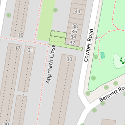

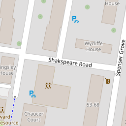
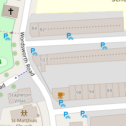
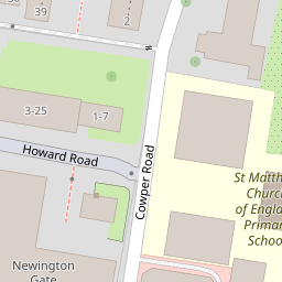


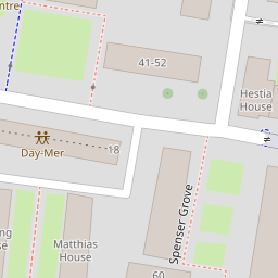
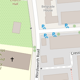

Leaflet © OpenStreetMap contributors
The heatmap indicates the level of crime in the area. The color of the heatmap indicates the crime severity and recency.
Metrics Year-on-Year
- Average area value
- 920,000.00 £Increased by 33.45 %
- Average area rental value
- 2,550.00 £/moIncreased by 2.12 %
- Est rental Yield
- 3.33 %Decreased by 23.45 %
- Crime Rate
- 4.00 %Unchanged by 0.00 %
from 689,400.00 £
from 2,497.00 £/mo
from 4.35 %
from 4.00 %
Nearby Schools
| Name | Type | Ofsted | Distance |
|---|---|---|---|
| St Matthias Church Of England Primary School | Voluntary Aided School | Good | 0.14 KM |
| The Garden School | Community Special School | Outstanding | 0.19 KM |
| Princess May Primary School | Community School | Good | 0.33 KM |
| Grasmere Primary School | Community School | Good | 0.38 KM |
| The Factory Children'S Centre | Children's Centre | 0.40 KM |
Images
Nearby Streets
| Name | Average Price | Average Sqft | Distance |
|---|---|---|---|
| Wordsworth Road | £ 0 | 0 | 0.00 KM |
| Truman's Road | £ 0 | 0 | 0.00 KM |
| Kingsbury Terrace | £ 790,000 | 0 | 0.00 KM |
| Scholars' Place | £ 825,000 | 0 | 0.00 KM |
| Birkbeck Mews | £ 0 | 0 | 0.00 KM |
Nearby Transport
| Name | NLC | TLC | Distance |
|---|---|---|---|
| Dalston Kingsland | 1429 | DLK | 0.80 KM |
| Dalston Junction | 1443 | DLJ | 1.02 KM |
| Canonbury | 1441 | CNN | 1.41 KM |
| Rectory Road | 6967 | REC | 1.45 KM |
| Stoke Newington | 6934 | SKW | 1.54 KM |
Nearby Listings
| Address | Price | Type | Score | Distance |
|---|---|---|---|---|
| Walrond House, Matthias Road, London | £ 725,000 | BUY | 8 / 10 | 0.14 KM |
| Matthias Road, London, N16 | £ 700,000 | BUY | Unknown | 0.14 KM |
| Matthias Road, London, N16 | £ 700,000 | BUY | Unknown | 0.14 KM |
| Matthias Road, London, N16 | £ 700,000 | BUY | Unknown | 0.14 KM |
| Matthias Road, Walrond House Matthias Road, N16 | £ 700,000 | BUY | 6 / 10 | 0.14 KM |
Nearby Properties
| Address | Price | Distance |
|---|---|---|
| 26 Cowper Road | £ 852,750 | 0.00 KM |
| 6 Cowper Road | £ 249,999 | 0.00 KM |
| 58 Cowper Road | £ 71,000 | 0.00 KM |
| 46 Cowper Road | £ 785,000 | 0.00 KM |
| 4 Cowper Road | £ 790,000 | 0.00 KM |