UN
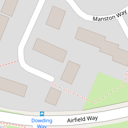
6 Manston Way
£ 250,000
Description
We don't have a Description for this property.
- Bedrooms
- 4
- Bathrooms
- 0

Leaflet © OpenStreetMap contributors
The heatmap indicates the level of crime in the area. The color of the heatmap indicates the crime severity and recency.
Metrics Year-on-Year
- Average area value
- 430,989.00 £Increased by 6.80 %
- Average area rental value
- 1,439.00 £/moIncreased by 15.21 %
- Est rental Yield
- 4.01 %Increased by 8.09 %
- Crime Rate
- 5.00 %Unchanged by 0.00 %
from 403,536.00 £
from 1,249.00 £/mo
from 3.71 %
from 5.00 %
Nearby Schools
| Name | Type | Ofsted | Distance |
|---|---|---|---|
| The R J Mitchell Primary School | Community School | Good | 0.22 KM |
| St Alban'S Catholic Primary School | Voluntary Aided School | Good | 0.61 KM |
| Routes4Life Limited | Special Post 16 Institution | 0.75 KM | |
| Elm Park Primary School | Community School | Good | 1.07 KM |
| Scotts Primary School | Community School | Outstanding | 1.16 KM |
Images
Nearby Streets
| Name | Average Price | Average Sqft | Distance |
|---|---|---|---|
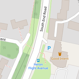
| South End Road | £ 316,667 | 0 | 0.00 KM |
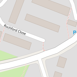
| Rochford Close | £ 450,000 | 0 | 0.00 KM |
| Cavendish Crescent | £ 508,333 | 0 | 0.00 KM |
| Lancaster Drive | £ 0 | 0 | 0.00 KM |
| Albyns Close | £ 0 | 0 | 0.00 KM |
Nearby Transport
| Name | NLC | TLC | Distance |
|---|---|---|---|
| Rainham (Essex) | 7454 | RNM | 2.95 KM |
| Emerson Park | 7473 | EMP | 3.68 KM |
| Romford | 6886 | RMF | 4.47 KM |
| Gidea Park | 6877 | GDP | 4.67 KM |
| Upminster | 7464 | UPM | 5.67 KM |
Nearby Listings
| Address | Price | Type | Score | Distance |
|---|---|---|---|---|
| South End Road, Hornchurch, RM12 | £ 190,000 | BUY | Unknown | 0.10 KM |
| South End Road, Hornchurch, RM12 | £ 285,000 | BUY | 7 / 10 | 0.10 KM |
| Rochford Close, Hornchurch, RM12 | £ 450,000 | BUY | 6 / 10 | 0.14 KM |
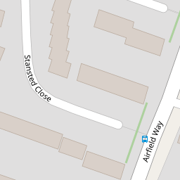
| Stansted Close, HORNCHURCH, Essex, RM12 | £ 500,000 | BUY | Unknown | 0.20 KM |
| Duxford Close, Hornchurch, RM12 | £ 500,000 | BUY | 7 / 10 | 0.23 KM |
Nearby Properties
| Address | Price | Distance |
|---|---|---|
| 14 Manston Way | £ 218,500 | 0.00 KM |
| 6 Manston Way | £ 250,000 | 0.00 KM |
| 20 Manston Way | £ 370,000 | 0.00 KM |
| 18 Manston Way | £ 435,000 | 0.00 KM |
| 27 Manston Way | £ 320,000 | 0.06 KM |