UN
2 Churchdown
£ 340,000
Description
We don't have a Description for this property.
- Bedrooms
- 3
- Bathrooms
- 0

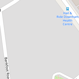
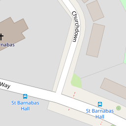
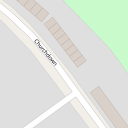
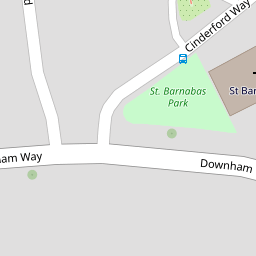

Leaflet © OpenStreetMap contributors
The heatmap indicates the level of crime in the area. The color of the heatmap indicates the crime severity and recency.
Metrics Year-on-Year
- Average area value
- 431,360.00 £Decreased by 10.85 %
- Average area rental value
- 1,795.00 £/moIncreased by 8.66 %
- Est rental Yield
- 4.99 %Increased by 21.71 %
- Crime Rate
- 2.00 %Unchanged by 0.00 %
from 483,864.00 £
from 1,652.00 £/mo
from 4.10 %
from 2.00 %
Nearby Schools
| Name | Type | Ofsted | Distance |
|---|---|---|---|
| Rangefield Primary School | Community School | Requires improvement | 0.31 KM |
| Downderry Children'S Centre | Children's Centre | 0.41 KM | |
| New Woodlands School | Community Special School | Good | 0.45 KM |
| Downderry Primary School | Community School | Outstanding | 0.50 KM |
| Good Shepherd Rc School | Voluntary Aided School | Good | 0.64 KM |
Images
Nearby Streets
| Name | Average Price | Average Sqft | Distance |
|---|---|---|---|
| Merlinmead | £ 0 | 0 | 0.00 KM |
| Farmfield Road | £ 440,000 | 0 | 0.00 KM |
| Pontefract Road | £ 387,500 | 0 | 0.00 KM |
| Oakridge Lane | £ 0 | 0 | 0.00 KM |
| Riverbank Road | £ 0 | 0 | 0.00 KM |
Nearby Transport
| Name | NLC | TLC | Distance |
|---|---|---|---|
| Grove Park | 5139 | GRP | 1.93 KM |
| Ravensbourne | 5083 | RVB | 1.97 KM |
| Beckenham Hill | 5076 | BEC | 2.30 KM |
| Sundridge Park | 5155 | SUP | 2.36 KM |
| Shortlands | 5084 | SRT | 2.38 KM |
Nearby Listings
| Address | Price | Type | Score | Distance |
|---|---|---|---|---|
| Churchdown, Bromley, BR1 | £ 480,000 | BUY | 5 / 10 | 0.02 KM |
| Cinderford Way, Bromley | £ 375,000 | BUY | 5 / 10 | 0.06 KM |
| Downham Way, Bromley, Lewisham, BR1 | £ 475,000 | BUY | 6 / 10 | 0.14 KM |
| Cinderford Way, Bromley, Kent, BR1 | £ 495,000 | BUY | 7 / 10 | 0.18 KM |
| Keedonwood Road, BROMLEY, Kent, BR1 | £ 350,000 | BUY | 5 / 10 | 0.19 KM |
Nearby Properties
| Address | Price | Distance |
|---|---|---|
| 46 Churchdown | £ 330,000 | 0.00 KM |
| 54 Churchdown | £ 86,500 | 0.00 KM |
| 52 Churchdown | £ 306,000 | 0.00 KM |
| 2 Churchdown | £ 340,000 | 0.00 KM |
| 38 Churchdown | £ 170,000 | 0.03 KM |