UN
47 Sheenewood
£ 282,000
Description
We don't have a Description for this property.
- Bedrooms
- 2
- Bathrooms
- 0
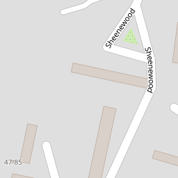
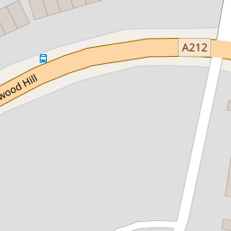
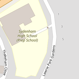
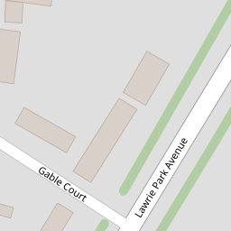

Leaflet © OpenStreetMap contributors
The heatmap indicates the level of crime in the area. The color of the heatmap indicates the crime severity and recency.
Metrics Year-on-Year
- Average area value
- 541,000.00 £Increased by 7.25 %
- Average area rental value
- 1,900.00 £/moIncreased by 1.17 %
- Est rental Yield
- 4.21 %Decreased by 5.82 %
- Crime Rate
- 2.00 %Unchanged by 0.00 %
from 504,413.00 £
from 1,878.00 £/mo
from 4.47 %
from 2.00 %
Nearby Schools
| Name | Type | Ofsted | Distance |
|---|---|---|---|
| Sydenham High School Gdst | Other Independent School | 0.42 KM | |
| Kelvin Grove Children'S Centre | Children's Centre | 0.65 KM | |
| Kelvin Grove Primary School | Community School | Good | 0.65 KM |
| St Bartholomews'S Church Of England Primary School | Voluntary Aided School | Good | 0.74 KM |
| Sydenham School | Community School | Good | 0.80 KM |
Images
Nearby Streets
| Name | Average Price | Average Sqft | Distance |
|---|---|---|---|
| Chulsa Road | £ 340,000 | 0 | 0.00 KM |
| Newman Close | £ 0 | 0 | 0.00 KM |
| Peter's Path | £ 375,000 | 0 | 0.00 KM |
| Bradford Close | £ 0 | 0 | 0.00 KM |
| Logue Walk | £ 315,000 | 0 | 0.00 KM |
Nearby Transport
| Name | NLC | TLC | Distance |
|---|---|---|---|
| Sydenham | 5437 | SYD | 0.70 KM |
| Penge West | 5378 | PNW | 1.07 KM |
| Penge East | 5072 | PNE | 1.12 KM |
| Forest Hill | 5362 | FOH | 1.58 KM |
| Crystal Palace | 5356 | CYP | 1.67 KM |
Nearby Listings
| Address | Price | Type | Score | Distance |
|---|---|---|---|---|
| Sheenewood, London, SE26 | £ 300,000 | BUY | 6 / 10 | 0.08 KM |
| Westwood Hill, Sydenham, London, SE26 | £ 300,000 | BUY | Unknown | 0.10 KM |
| Lawrie Park Avenue, London | £ 2,350,000 | BUY | 7 / 10 | 0.12 KM |
| Lawrie Park Avenue, Sydenham, SE26 | £ 450,000 | BUY | 7 / 10 | 0.14 KM |
| 11 Westwood Hill, London, SE26 | £ 300,000 | BUY | 8 / 10 | 0.16 KM |
Nearby Properties
| Address | Price | Distance |
|---|---|---|
| 39 Sheenewood | £ 140,000 | 0.00 KM |
| 71 Sheenewood | £ 335,000 | 0.00 KM |
| 43 Sheenewood | £ 142,000 | 0.00 KM |
| 7 Sheenewood | £ 175,000 | 0.00 KM |
| 47 Sheenewood | £ 282,000 | 0.00 KM |