UN
80 Barking Road
£ 121,000
Description
We don't have a Description for this property.
- Bedrooms
- 5
- Bathrooms
- 0
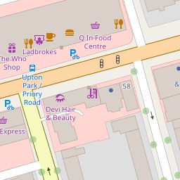
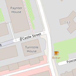
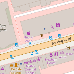
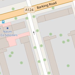

Leaflet © OpenStreetMap contributors
The heatmap indicates the level of crime in the area. The color of the heatmap indicates the crime severity and recency.
Metrics Year-on-Year
- Average area value
- 392,896.00 £Decreased by 13.16 %
- Average area rental value
- 2,078.00 £/moDecreased by 0.67 %
- Est rental Yield
- 6.35 %Increased by 14.41 %
- Crime Rate
- 10.00 %Unchanged by 0.00 %
from 452,419.00 £
from 2,092.00 £/mo
from 5.55 %
from 10.00 %
Nearby Schools
| Name | Type | Ofsted | Distance |
|---|---|---|---|
| St Edward'S Catholic Primary School | Academy Converter | 0.43 KM | |
| Central Park Primary School | Community School | Good | 0.46 KM |
| Cleves Primary School | Academy Converter | 0.56 KM | |
| New City Primary School | Academy Converter | 0.67 KM | |
| St Stephen'S Children'S Centre | Children's Centre | 0.84 KM |
Images
Nearby Streets
| Name | Average Price | Average Sqft | Distance |
|---|---|---|---|
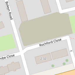
| Foxcombe Close | £ 0 | 506 | 0.00 KM |
| Seymour Road | £ 525,000 | 0 | 0.00 KM |
| Boundary Road | £ 587,500 | 0 | 0.00 KM |
| Coronation Road | £ 439,286 | 0 | 0.00 KM |
| Boundary Road | £ 0 | 0 | 0.00 KM |
Nearby Transport
| Name | NLC | TLC | Distance |
|---|---|---|---|
| Woodgrange Park | 7467 | WGR | 2.14 KM |
| Manor Park | 6883 | MNP | 2.54 KM |
| Forest Gate | 6876 | FOG | 2.75 KM |
| Wanstead Park | 7408 | WNP | 2.83 KM |
| West Ham | 7474 | WEH | 3.86 KM |
Nearby Listings
| Address | Price | Type | Score | Distance |
|---|---|---|---|---|
| Barking Road, East Ham, London, E6 2LR | £ 290,000 | BUY | 4 / 10 | 0.00 KM |
| Barking Road, East Ham, Greater London | £ 200,000 | BUY | 4 / 10 | 0.01 KM |
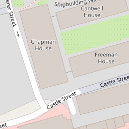
| Castle Street, Upton Park, London, E13 | £ 600,000 | BUY | 8 / 10 | 0.08 KM |
| Castle Street, London, E13 | £ 600,000 | BUY | 7 / 10 | 0.09 KM |
| Castle Street, East Ham, LONDON, E13 | £ 550,000 | BUY | 8 / 10 | 0.11 KM |
Nearby Properties
| Address | Price | Distance |
|---|---|---|
| 80 Barking Road | £ 121,000 | 0.00 KM |
| 38b Barking Road | £ 255,000 | 0.00 KM |
| 104b Barking Road | £ 127,000 | 0.00 KM |
| 32b Barking Road | £ 300,000 | 0.00 KM |
| 90 Barking Road | £ 225,000 | 0.00 KM |