UN
2 Esdale
£ 112,000
Description
We don't have a Description for this property.
- Bedrooms
- 2
- Bathrooms
- 0
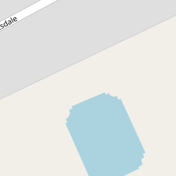
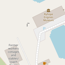

Leaflet © OpenStreetMap contributors
The heatmap indicates the level of crime in the area. The color of the heatmap indicates the crime severity and recency.
Metrics Year-on-Year
- Average area value
- 214,199.00 £Increased by 0.04 %
- Average area rental value
- 786.00 £/moIncreased by 1.68 %
- Est rental Yield
- 4.40 %Increased by 1.62 %
- Crime Rate
- 6.00 %Unchanged by 0.00 %
from 214,110.00 £
from 773.00 £/mo
from 4.33 %
from 6.00 %
Nearby Schools
| Name | Type | Ofsted | Distance |
|---|---|---|---|
| St Paul'S Cofe Primary School | Voluntary Controlled School | Outstanding | 0.40 KM |
| Ryhope Junior School | Community School | Requires improvement | 0.66 KM |
| Ryhope Infant School Academy | Academy Converter | Good | 0.66 KM |
| Sunderland Children'S Centre Ryhope | Children's Centre Linked Site | 0.66 KM | |
| St Patrick'S Catholic Primary School, Ryhope | Academy Converter | 0.76 KM |
Images
Nearby Streets
| Name | Average Price | Average Sqft | Distance |
|---|---|---|---|
| Burdon Crescent | £ 263,830 | 0 | 0.00 KM |
| Saint Benedict's Way | £ 349,950 | 0 | 0.00 KM |
| Merton Close | £ 227,840 | 0 | 0.00 KM |
| Sealand Close | £ 250,000 | 0 | 0.00 KM |
| Lufton Close | £ 0 | 0 | 0.00 KM |
Nearby Transport
| Name | NLC | TLC | Distance |
|---|---|---|---|
| Seaham | 7814 | SEA | 4.20 KM |
| Sunderland | 7640 | SUN | 4.48 KM |
Nearby Listings
| Address | Price | Type | Score | Distance |
|---|---|---|---|---|
| Ambrunes Close, Ryhope, Sunderland, Tyne and Wear, SR2 0FL | £ 250,000 | BUY | Unknown | 0.30 KM |
| Bevan Avenue, Sunderland, Tyne and Wear, SR2 | £ 129,995 | BUY | 7 / 10 | 0.30 KM |
| Greenstem Way, Cherry Tree Park, Ryhope, Sunderland | £ 159,995 | BUY | Unknown | 0.48 KM |
| Bevan Avenue, Sunderland, SR2 | £ 105,000 | BUY | 6 / 10 | 0.51 KM |
| Burcombe Close, Cherry Tree Park, Sunderland | £ 115,000 | BUY | 6 / 10 | 0.53 KM |