UN
9 Elm Grove
£ 90,000
Description
We don't have a Description for this property.
- Bedrooms
- 3
- Bathrooms
- 0
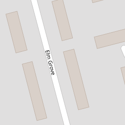
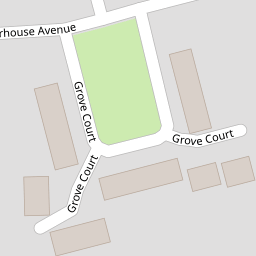
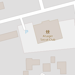
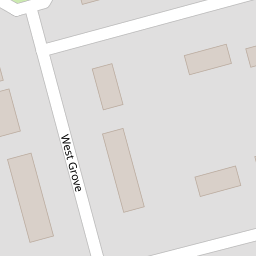
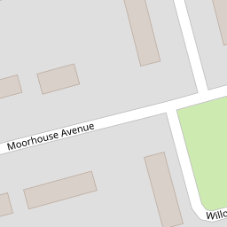
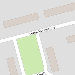

Leaflet © OpenStreetMap contributors
The heatmap indicates the level of crime in the area. The color of the heatmap indicates the crime severity and recency.
Metrics Year-on-Year
- Average area value
- 296,591.00 £Decreased by 1.48 %
- Average area rental value
- 822.00 £/moDecreased by 9.87 %
- Est rental Yield
- 3.33 %Decreased by 8.52 %
- Crime Rate
- 26.00 %Unchanged by 0.00 %
from 301,039.00 £
from 912.00 £/mo
from 3.64 %
from 26.00 %
Nearby Schools
| Name | Type | Ofsted | Distance |
|---|---|---|---|
| Alsager Highfields Community Primary School | Academy Sponsor Led | 0.62 KM | |
| Sandbach Children'S Centre -Alsager Site | Children's Centre Linked Site | 0.71 KM | |
| Excalibur Primary School | Academy Converter | 1.16 KM | |
| St Gabriel'S Catholic Primary School | Voluntary Aided School | Outstanding | 1.43 KM |
| Rode Heath Primary School | Community School | Good | 1.93 KM |
Images
Nearby Streets
| Name | Average Price | Average Sqft | Distance |
|---|---|---|---|
| Grove Court | £ 75,000 | 0 | 0.00 KM |
| Bankside Court | £ 0 | 0 | 0.00 KM |
| Woodland Court | £ 83,317 | 0 | 0.00 KM |
| East Court | £ 250,000 | 0 | 0.00 KM |
| Blenheim Court | £ 0 | 0 | 0.00 KM |
Nearby Transport
| Name | NLC | TLC | Distance |
|---|---|---|---|
| Alsager | 1223 | ASG | 0.70 KM |
| Kidsgrove | 1229 | KDG | 6.12 KM |
Nearby Listings
| Address | Price | Type | Score | Distance |
|---|---|---|---|---|
| Grove Court, Alsager | £ 70,000 | BUY | 6 / 10 | 0.10 KM |
| Moorhouse Avenue, Alsager | £ 185,000 | BUY | Unknown | 0.12 KM |
| Moorhouse Avenue, Alsager | £ 124,000 | BUY | Unknown | 0.14 KM |
| Bankside Court, Alsager | £ 50,250 | BUY | 5 / 10 | 0.20 KM |
| Longview Avenue, Alsager | £ 120,000 | BUY | Unknown | 0.20 KM |
Nearby Properties
| Address | Price | Distance |
|---|---|---|
| 1 Elm Grove | £ 143,100 | 0.00 KM |
| 9 Elm Grove | £ 90,000 | 0.00 KM |
| 15 Elm Grove | £ 95,000 | 0.05 KM |
| 12 Elm Grove | £ 51,450 | 0.05 KM |
| 7 Longview Avenue | £ 115,000 | 0.07 KM |