UN
9 Well Lane
£ 325,000
Description
We don't have a Description for this property.
- Bedrooms
- 2
- Bathrooms
- 0
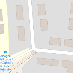
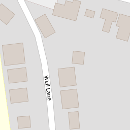
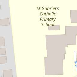
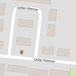

Leaflet © OpenStreetMap contributors
The heatmap indicates the level of crime in the area. The color of the heatmap indicates the crime severity and recency.
Metrics Year-on-Year
- Average area value
- 296,591.00 £Decreased by 1.48 %
- Average area rental value
- 822.00 £/moDecreased by 9.87 %
- Est rental Yield
- 3.33 %Decreased by 8.52 %
- Crime Rate
- 35.00 %Unchanged by 0.00 %
from 301,039.00 £
from 912.00 £/mo
from 3.64 %
from 35.00 %
Nearby Schools
| Name | Type | Ofsted | Distance |
|---|---|---|---|
| St Gabriel'S Catholic Primary School | Voluntary Aided School | Outstanding | 0.08 KM |
| Alsager Highfields Community Primary School | Academy Sponsor Led | 0.76 KM | |
| Sandbach Children'S Centre -Alsager Site | Children's Centre Linked Site | 0.99 KM | |
| Alsager School | Academy Converter | Outstanding | 1.10 KM |
| Pikemere School | Academy Converter | 1.52 KM |
Images
Nearby Streets
| Name | Average Price | Average Sqft | Distance |
|---|---|---|---|
| Chancery Lane | £ 481,667 | 0 | 0.00 KM |
| Nightingale Way | £ 0 | 0 | 0.00 KM |
| Beechwood Drive | £ 775,000 | 0 | 0.00 KM |
| Blenheim Court | £ 0 | 0 | 0.00 KM |
| Rydal Way | £ 535,000 | 0 | 0.00 KM |
Nearby Transport
| Name | NLC | TLC | Distance |
|---|---|---|---|
| Alsager | 1223 | ASG | 1.18 KM |
| Kidsgrove | 1229 | KDG | 7.22 KM |
Nearby Listings
| Address | Price | Type | Score | Distance |
|---|---|---|---|---|
| Well Lane, Alsager | £ 217,750 | BUY | 7 / 10 | 0.01 KM |
| Well Lane, Alsager | £ 325,000 | BUY | 7 / 10 | 0.05 KM |
| Cedar Avenue, Alsager | £ 270,000 | BUY | 7 / 10 | 0.13 KM |
| Station Road, Alsager | £ 265,000 | BUY | 5 / 10 | 0.13 KM |
| St. Gabriels Court, Alsager, Stoke-on-Trent, Cheshire, ST7 | £ 475,000 | BUY | 8 / 10 | 0.14 KM |
Nearby Properties
| Address | Price | Distance |
|---|---|---|
| 12 Well Lane | £ 145,000 | 0.00 KM |
| 14 Well Lane | £ 189,000 | 0.00 KM |
| 1a Well Lane | £ 185,000 | 0.00 KM |
| 9 Well Lane | £ 325,000 | 0.00 KM |
| Foxheads | £ 220,000 | 0.00 KM |