UN
4 Salford
£ 395,000
Description
We don't have a Description for this property.
- Bedrooms
- 2
- Bathrooms
- 0
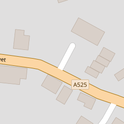
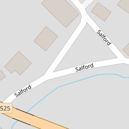
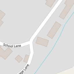

Leaflet © OpenStreetMap contributors
The heatmap indicates the level of crime in the area. The color of the heatmap indicates the crime severity and recency.
Metrics Year-on-Year
- Average area value
- 389,052.00 £Decreased by 10.22 %
- Average area rental value
- 1,317.00 £/moDecreased by 11.13 %
- Est rental Yield
- 4.06 %Decreased by 0.98 %
- Crime Rate
- 1.00 %Unchanged by 0.00 %
from 433,336.00 £
from 1,482.00 £/mo
from 4.10 %
from 1.00 %
Nearby Schools
| Name | Type | Ofsted | Distance |
|---|---|---|---|
| Audlem St James' Cofe Primary School | Academy Converter | 0.35 KM | |
| Adderley Cofe Primary School | Voluntary Controlled School | Good | 3.49 KM |
| Stapeley Broad Lane Cofe Primary School | Academy Converter | Outstanding | 6.79 KM |
| Sound And District Primary School | Community School | Good | 7.16 KM |
| Weaver Primary School | Community School | Good | 7.46 KM |
Images
Nearby Streets
| Name | Average Price | Average Sqft | Distance |
|---|---|---|---|
| Vicarage Lane | £ 0 | 0 | 0.00 KM |
Nearby Transport
| Name | NLC | TLC | Distance |
|---|---|---|---|
| Nantwich | 1247 | NAN | 8.38 KM |
Nearby Listings
| Address | Price | Type | Score | Distance |
|---|---|---|---|---|
| Audlem, Cheshire | £ 850,000 | BUY | Unknown | 0.15 KM |
| Hillary Drive, Audlem, Cheshire | £ 295,000 | BUY | 6 / 10 | 0.17 KM |
| Eaton Way, Audlem, Crewe, Cheshire, CW3 | £ 365,000 | BUY | 6 / 10 | 0.18 KM |
| Hillary Drive, Audlem, CW3 | £ 335,000 | BUY | 7 / 10 | 0.21 KM |
| Cotton Mews, Audlem, CW3 | £ 250,000 | BUY | Unknown | 0.21 KM |
Nearby Properties
| Address | Price | Distance |
|---|---|---|
| 4 Salford | £ 395,000 | 0.00 KM |
| 13 Church View | £ 161,500 | 0.11 KM |
| 3 Church View | £ 180,000 | 0.11 KM |
| 12 Church View | £ 156,000 | 0.11 KM |
| 16 Church View | £ 215,000 | 0.11 KM |