UN
8 Wheatlands
£ 85,000
Description
We don't have a Description for this property.
- Bedrooms
- 3
- Bathrooms
- 0
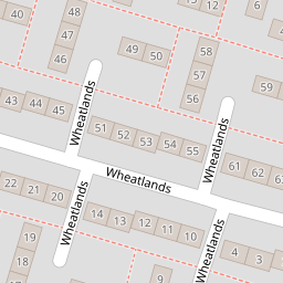
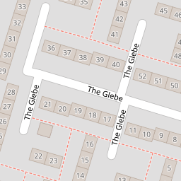
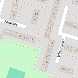
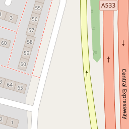

Leaflet © OpenStreetMap contributors
The heatmap indicates the level of crime in the area. The color of the heatmap indicates the crime severity and recency.
Metrics Year-on-Year
- Average area value
- 222,105.00 £Increased by 27.39 %
- Average area rental value
- 751.00 £/moDecreased by 24.90 %
- Est rental Yield
- 4.06 %Decreased by 40.99 %
- Crime Rate
- 8.00 %Unchanged by 0.00 %
from 174,349.00 £
from 1,000.00 £/mo
from 6.88 %
from 8.00 %
Nearby Schools
| Name | Type | Ofsted | Distance |
|---|---|---|---|
| Castle View Primary School | Community School | Good | 0.30 KM |
| The Holy Spirit Catholic Primary School | Voluntary Aided School | Good | 0.46 KM |
| Halton Brook Children'S Centre | Children's Centre | 0.54 KM | |
| The Grange School | Academy Sponsor Led | 0.93 KM | |
| The Brow Community Primary School | Community School | Good | 0.95 KM |
Images
Nearby Streets
| Name | Average Price | Average Sqft | Distance |
|---|---|---|---|
| Dudley Avenue | £ 0 | 0 | 0.00 KM |
| Cole Court | £ 0 | 0 | 0.00 KM |
| Sea Lane | £ 150,000 | 0 | 0.00 KM |
| Second Avenue | £ 0 | 0 | 0.00 KM |
| Caernarvon Close | £ 0 | 0 | 0.00 KM |
Nearby Transport
| Name | NLC | TLC | Distance |
|---|---|---|---|
| Runcorn | 2291 | RUN | 3.68 KM |
| Runcorn East | 2294 | RUE | 4.54 KM |
| Frodsham | 2284 | FRD | 4.71 KM |
| Widnes | 2391 | WID | 5.75 KM |
| Hough Green | 2303 | HGN | 8.70 KM |
Nearby Listings
| Address | Price | Type | Score | Distance |
|---|---|---|---|---|
| Penfolds, Runcorn | £ 130,000 | BUY | 7 / 10 | 0.19 KM |
| Halton Brook Avenue, Halton Brook, WA7 | £ 130,000 | BUY | 6 / 10 | 0.21 KM |
| Boston Avenue, Runcorn | £ 160,000 | BUY | 7 / 10 | 0.22 KM |
| The Winnows, Halton Brook, Runcorn | £ 130,000 | BUY | Unknown | 0.31 KM |
| Halton Brook Avenue, Halton Brook, Runcorn, Cheshire, WA7 | £ 130,000 | BUY | 7 / 10 | 0.32 KM |
Nearby Properties
| Address | Price | Distance |
|---|---|---|
| 39 Wheatlands | £ 59,000 | 0.00 KM |
| 8 Wheatlands | £ 85,000 | 0.00 KM |
| 28 Wheatlands | £ 75,000 | 0.00 KM |
| 57 Wheatlands | £ 55,000 | 0.00 KM |
| 21 Wheatlands | £ 62,500 | 0.00 KM |