UN
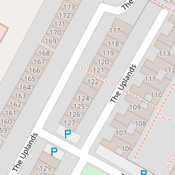
33 The Uplands
£ 54,500
Description
We don't have a Description for this property.
- Bedrooms
- 3
- Bathrooms
- 0
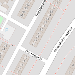
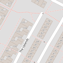
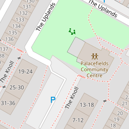

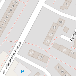

Leaflet © OpenStreetMap contributors
The heatmap indicates the level of crime in the area. The color of the heatmap indicates the crime severity and recency.
Metrics Year-on-Year
- Average area value
- 290,444.00 £Increased by 45.57 %
- Average area rental value
- 1,060.00 £/moIncreased by 29.74 %
- Est rental Yield
- 4.38 %Decreased by 10.79 %
- Crime Rate
- 13.00 %Unchanged by 0.00 %
from 199,519.00 £
from 817.00 £/mo
from 4.91 %
from 13.00 %
Nearby Schools
| Name | Type | Ofsted | Distance |
|---|---|---|---|
| Palace Fields Primary Academy | Academy Converter | Good | 0.50 KM |
| Our Lady Mother Of The Saviour Catholic Primary School | Voluntary Aided School | Good | 0.60 KM |
| St Mary'S Church Of England Primary School | Voluntary Aided School | Good | 0.61 KM |
| Halton School | Other Independent Special School | Good | 1.09 KM |
| The Brow Community Primary School | Community School | Good | 1.25 KM |
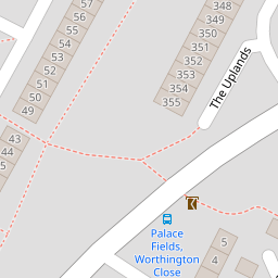
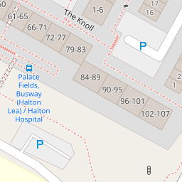
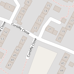
Images
Nearby Streets
| Name | Average Price | Average Sqft | Distance |
|---|---|---|---|
| Murdishaw pop-up cycle route | £ 0 | 0 | 0.00 KM |
| Gorse Cottages | £ 0 | 0 | 0.00 KM |
| Southway | £ 170,000 | 0 | 0.00 KM |
| Second Avenue | £ 0 | 0 | 0.00 KM |
| Woodland Court | £ 78,000 | 0 | 0.00 KM |
Nearby Transport
| Name | NLC | TLC | Distance |
|---|---|---|---|
| Runcorn East | 2294 | RUE | 2.78 KM |
| Frodsham | 2284 | FRD | 4.93 KM |
| Runcorn | 2291 | RUN | 5.55 KM |
| Widnes | 2391 | WID | 7.53 KM |
| Sankey For Penketh | 2388 | SNK | 8.65 KM |
Nearby Listings
| Address | Price | Type | Score | Distance |
|---|---|---|---|---|
| The Uplands, Runcorn | £ 110,000 | BUY | 6 / 10 | 0.01 KM |
| The Uplands, Runcorn | £ 110,000 | BUY | 5 / 10 | 0.01 KM |
| Cunliffe Close, Runcorn | £ 180,000 | BUY | 6 / 10 | 0.19 KM |
| Cunliffe Close, Runcorn | £ 180,000 | BUY | 7 / 10 | 0.19 KM |
| The Uplands, Palacefields | £ 120,000 | BUY | 6 / 10 | 0.25 KM |
Nearby Properties
| Address | Price | Distance |
|---|---|---|
| 51 The Uplands | £ 80,000 | 0.00 KM |
| 61 The Uplands | £ 77,500 | 0.00 KM |
| 14 The Uplands | £ 70,000 | 0.00 KM |
| 33 The Uplands | £ 54,500 | 0.00 KM |
| 35 The Uplands | £ 53,500 | 0.00 KM |