UN
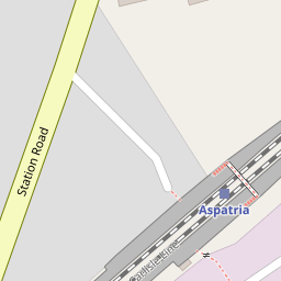
20 Station Road
£ 22,500
Description
We don't have a Description for this property.
- Bedrooms
- 2
- Bathrooms
- 0

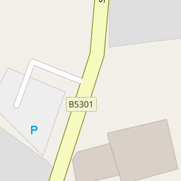
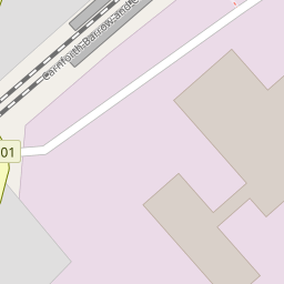

Leaflet © OpenStreetMap contributors
The heatmap indicates the level of crime in the area. The color of the heatmap indicates the crime severity and recency.
Metrics Year-on-Year
- Average area value
- 801,167.00 £Decreased by 16.35 %
- Average area rental value
- 1,142.00 £/moDecreased by 67.83 %
- Est rental Yield
- 1.71 %Decreased by 61.57 %
- Crime Rate
- 19.00 %Unchanged by 0.00 %
from 957,809.00 £
from 3,550.00 £/mo
from 4.45 %
from 19.00 %
Nearby Schools
| Name | Type | Ofsted | Distance |
|---|---|---|---|
| Beacon Hill Community School | Community School | Good | 0.57 KM |
| Richmond Hill School | Community School | Good | 1.41 KM |
| Plumbland Cofe School | Voluntary Controlled School | Good | 2.31 KM |
| St Matthew'S Cofe School | Voluntary Aided School | Good | 3.21 KM |
| Oughterside Primary School | Foundation School | Good | 4.06 KM |
Images
Nearby Streets
| Name | Average Price | Average Sqft | Distance |
|---|---|---|---|
| Saint Mungos Park | £ 150,000 | 0 | 0.00 KM |
| St. Kentigerns Way | £ 0 | 0 | 0.00 KM |
Nearby Transport
| Name | NLC | TLC | Distance |
|---|---|---|---|
| Aspatria | 2095 | ASP | 0.14 KM |
Nearby Listings
| Address | Price | Type | Score | Distance |
|---|---|---|---|---|
| Station Road, Aspatria, Wigton, Cumbria, CA7 | £ 120,000 | BUY | 5 / 10 | 0.03 KM |
| Johannah Terrace, Aspatria, CA7 | £ 165,000 | BUY | Unknown | 0.12 KM |
| Croft Terrace, Aspatria, Wigton, Cumbria, CA7 | £ 160,000 | BUY | 6 / 10 | 0.20 KM |
| Arkleby Road, Aspatria, Wigton | £ 130,000 | BUY | 7 / 10 | 0.23 KM |
| Station Road, Aspatria, CA7 2AJ | £ 174,995 | BUY | 7 / 10 | 0.25 KM |
Nearby Properties
| Address | Price | Distance |
|---|---|---|
| 20 Station Road | £ 22,500 | 0.00 KM |
| 4 Station Road | £ 87,000 | 0.00 KM |
| 27 Station Road | £ 110,000 | 0.00 KM |
| 44 Station Road | £ 50,000 | 0.00 KM |
| 30 Station Road | £ 155,000 | 0.01 KM |