UN
57 Oak Lane
£ 129,950
Description
We don't have a Description for this property.
- Bedrooms
- 3
- Bathrooms
- 0
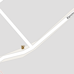
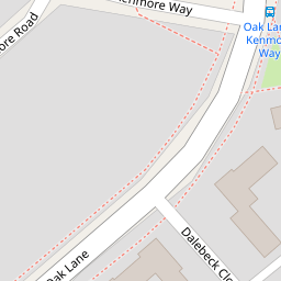
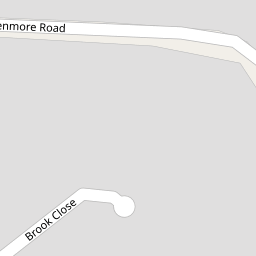
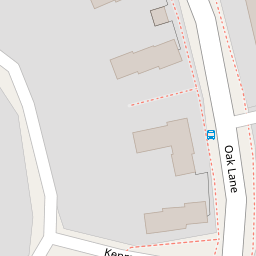
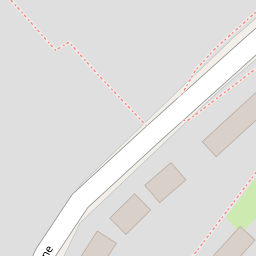
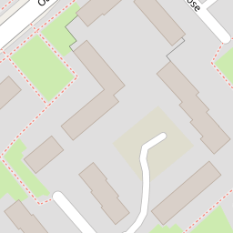

Leaflet © OpenStreetMap contributors
The heatmap indicates the level of crime in the area. The color of the heatmap indicates the crime severity and recency.
Metrics Year-on-Year
- Average area value
- 271,650.00 £Increased by 9.72 %
- Average area rental value
- 1,047.00 £/moIncreased by 8.27 %
- Est rental Yield
- 4.63 %Decreased by 1.28 %
- Crime Rate
- 0.00 %
from 247,586.00 £
from 967.00 £/mo
from 4.69 %
from 0.00 %
Nearby Schools
| Name | Type | Ofsted | Distance |
|---|---|---|---|
| St Michael'S Roman Catholic Primary School, Whitefield | Voluntary Aided School | Good | 0.69 KM |
| Mersey Drive Community Primary School | Community School | Good | 0.92 KM |
| St Margaret'S Church Of England Primary School | Voluntary Controlled School | Good | 1.02 KM |
| Ribble Drive Community Primary School | Community School | Good | 1.06 KM |
| Whitefield Children'S Centre Hub | Children's Centre | 1.06 KM |
Images
Nearby Streets
| Name | Average Price | Average Sqft | Distance |
|---|---|---|---|
| Kenmore Way | £ 0 | 0 | 0.00 KM |
| Brook Drive | £ 375,000 | 0 | 0.00 KM |
| Duddon Close | £ 175,000 | 0 | 0.00 KM |
| Elizabethan Close | £ 190,000 | 0 | 0.00 KM |
| Pole Lane | £ 213,667 | 0 | 0.00 KM |
Nearby Transport
| Name | NLC | TLC | Distance |
|---|---|---|---|
| Clifton (Manchester) | 2795 | CLI | 5.34 KM |
| Salford Crescent | 2794 | SLD | 6.89 KM |
| Salford Central | 2798 | SFD | 7.59 KM |
| Manchester Victoria | 2970 | MCV | 7.64 KM |
| Swinton (Manchester) | 2800 | SNN | 7.94 KM |
Nearby Listings
| Address | Price | Type | Score | Distance |
|---|---|---|---|---|
| Oak Lane, Whitefield, M45 | £ 200,000 | BUY | 6 / 10 | 0.01 KM |
| Derwent Walk, Whitefield, M45 | £ 200,000 | BUY | 7 / 10 | 0.14 KM |
| Kenmore Way, Whitefield, M45 | £ 180,000 | BUY | 5 / 10 | 0.15 KM |
| Kenmore Road, Whitefield, M45 | £ 310,000 | BUY | 7 / 10 | 0.16 KM |
| Kenmore Road, Whitefield, M45 | £ 275,000 | BUY | 6 / 10 | 0.16 KM |
Nearby Properties
| Address | Price | Distance |
|---|---|---|
| 57 Oak Lane | £ 129,950 | 0.00 KM |
| 43 Oak Lane | £ 91,000 | 0.00 KM |
| 34 Derwent Walk | £ 85,000 | 0.10 KM |
| 18 Derwent Walk | £ 120,000 | 0.10 KM |
| 6 Derwent Walk | £ 98,000 | 0.10 KM |