UN
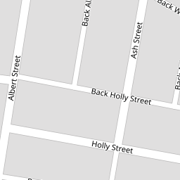
11 Ash Street
£ 110,000
Description
We don't have a Description for this property.
- Bedrooms
- 2
- Bathrooms
- 0

Leaflet © OpenStreetMap contributors
The heatmap indicates the level of crime in the area. The color of the heatmap indicates the crime severity and recency.
Metrics Year-on-Year
- Average area value
- 248,661.00 £Decreased by 6.33 %
- Average area rental value
- 943.00 £/moDecreased by 1.87 %
- Est rental Yield
- 4.55 %Increased by 4.84 %
- Crime Rate
- 0.00 %
from 265,463.00 £
from 961.00 £/mo
from 4.34 %
from 0.00 %
Nearby Schools
| Name | Type | Ofsted | Distance |
|---|---|---|---|
| St Thomas Church Of England Primary School | Academy Converter | 0.26 KM | |
| East Ward Community Primary School | Academy Converter | 0.70 KM | |
| St Paul'S Church Of England Primary School, Bury | Voluntary Aided School | Requires improvement | 0.77 KM |
| Bury East Children'S Centre Hub | Children's Centre | 0.77 KM | |
| Hazel Wood High School | Academy Sponsor Led | 0.81 KM |
Images
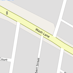
Nearby Streets
| Name | Average Price | Average Sqft | Distance |
|---|---|---|---|
| Back Wash Lane South | £ 0 | 0 | 0.00 KM |
| Parsonage Close | £ 100,000 | 0 | 0.00 KM |
| Back Bond Street West | £ 0 | 0 | 0.00 KM |
| Gladstone Street | £ 0 | 0 | 0.00 KM |
| Back Elm Street | £ 0 | 0 | 0.00 KM |
Nearby Transport
| Name | NLC | TLC | Distance |
|---|---|---|---|
| Clifton (Manchester) | 2795 | CLI | 8.76 KM |
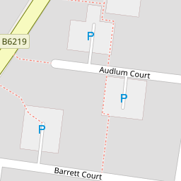
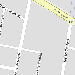
Nearby Listings
| Address | Price | Type | Score | Distance |
|---|---|---|---|---|
| Albert Street, Bury | £ 140,000 | BUY | 5 / 10 | 0.05 KM |
| Audlum Court, Bury | £ 130,000 | BUY | 4 / 10 | 0.17 KM |
| Pine Street, Bury | £ 130,000 | BUY | 6 / 10 | 0.19 KM |
| Myrtle Street South, Bury, Greater Manchester, BL9 | £ 170,000 | BUY | Unknown | 0.19 KM |
| Barrett Court, Bury | £ 170,000 | BUY | 7 / 10 | 0.19 KM |
Nearby Properties
| Address | Price | Distance |
|---|---|---|
| 9 Ash Street | £ 30,000 | 0.00 KM |
| 6 Ash Street | £ 86,000 | 0.00 KM |
| 8 Ash Street | £ 90,000 | 0.00 KM |
| 12 Ash Street | £ 142,000 | 0.00 KM |
| 11 Ash Street | £ 110,000 | 0.00 KM |