UN
8 Bond Street
£ 65,000
Description
We don't have a Description for this property.
- Bedrooms
- 2
- Bathrooms
- 0
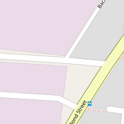
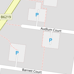
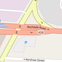
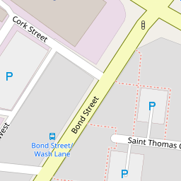
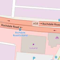

Leaflet © OpenStreetMap contributors
The heatmap indicates the level of crime in the area. The color of the heatmap indicates the crime severity and recency.
Metrics Year-on-Year
- Average area value
- 255,593.00 £Increased by 5.28 %
- Average area rental value
- 967.00 £/moDecreased by 2.22 %
- Est rental Yield
- 4.54 %Decreased by 7.16 %
- Crime Rate
- 0.00 %
from 242,775.00 £
from 989.00 £/mo
from 4.89 %
from 0.00 %
Nearby Schools
| Name | Type | Ofsted | Distance |
|---|---|---|---|
| St Thomas Church Of England Primary School | Academy Converter | 0.38 KM | |
| St Paul'S Church Of England Primary School, Bury | Voluntary Aided School | Requires improvement | 0.86 KM |
| East Ward Community Primary School | Academy Converter | 0.94 KM | |
| Bury East Children'S Centre Hub | Children's Centre | 1.02 KM | |
| Hazel Wood High School | Academy Sponsor Led | 1.06 KM |
Images
Nearby Streets
| Name | Average Price | Average Sqft | Distance |
|---|---|---|---|
| Back Bond Street West | £ 0 | 0 | 0.00 KM |
| Parsonage Close | £ 100,000 | 0 | 0.00 KM |
| Back Wash Lane South | £ 0 | 0 | 0.00 KM |
| Back Andrew Street | £ 185,000 | 0 | 0.00 KM |
| Gladstone Street | £ 0 | 0 | 0.00 KM |
Nearby Transport
| Name | NLC | TLC | Distance |
|---|---|---|---|
| Clifton (Manchester) | 2795 | CLI | 8.66 KM |
Nearby Listings
| Address | Price | Type | Score | Distance |
|---|---|---|---|---|
| Audlum Court, Bury | £ 130,000 | BUY | 4 / 10 | 0.09 KM |
| Barrett Court, Bury | £ 170,000 | BUY | 7 / 10 | 0.10 KM |
| Albert Street, Bury | £ 140,000 | BUY | 5 / 10 | 0.20 KM |
| Andrew Street, Bury | £ 140,000 | BUY | 5 / 10 | 0.33 KM |
| Brick Street, Bury | £ 160,000 | BUY | 6 / 10 | 0.33 KM |
Nearby Properties
| Address | Price | Distance |
|---|---|---|
| 41 Bond Street | £ 97,500 | 0.00 KM |
| 15 Bond Street | £ 63,000 | 0.00 KM |
| 37 Bond Street | £ 86,000 | 0.00 KM |
| 16 Bond Street | £ 58,500 | 0.00 KM |
| 8 Bond Street | £ 65,000 | 0.00 KM |