UN
5 Thorn View
£ 150,450
Description
We don't have a Description for this property.
- Bedrooms
- 2
- Bathrooms
- 0
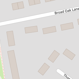
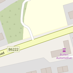
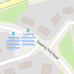
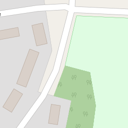
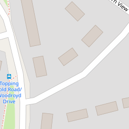
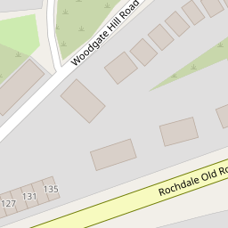
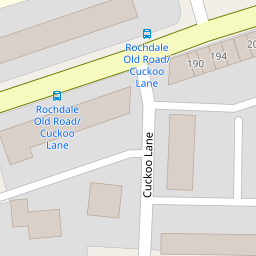
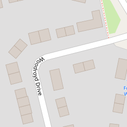

Leaflet © OpenStreetMap contributors
The heatmap indicates the level of crime in the area. The color of the heatmap indicates the crime severity and recency.
Metrics Year-on-Year
- Average area value
- 255,593.00 £Increased by 5.28 %
- Average area rental value
- 967.00 £/moDecreased by 2.22 %
- Est rental Yield
- 4.54 %Decreased by 7.16 %
- Crime Rate
- 0.00 %
from 242,775.00 £
from 989.00 £/mo
from 4.89 %
from 0.00 %
Nearby Schools
| Name | Type | Ofsted | Distance |
|---|---|---|---|
| Fairfield Community Primary School | Community School | Good | 0.61 KM |
| Hoyle Nursery School | Local Authority Nursery School | Outstanding | 0.75 KM |
| Bury East Children'S Centre Hub | Children's Centre | 0.84 KM | |
| Hazel Wood High School | Academy Sponsor Led | 0.87 KM | |
| East Ward Community Primary School | Academy Converter | 0.89 KM |
Images
Nearby Streets
| Name | Average Price | Average Sqft | Distance |
|---|---|---|---|
| Poplar Avenue | £ 135,000 | 0 | 0.00 KM |
| Fairfield Drive | £ 0 | 0 | 0.00 KM |
| Rowan Drive | £ 175,000 | 0 | 0.00 KM |
| Elm Street | £ 0 | 0 | 0.00 KM |
| Hawk Close | £ 0 | 0 | 0.00 KM |
Nearby Transport
| Name | NLC | TLC | Distance |
|---|---|---|---|
| Clifton (Manchester) | 2795 | CLI | 9.89 KM |
| Castleton (Manchester) | 2919 | CAS | 9.95 KM |
Nearby Listings
| Address | Price | Type | Score | Distance |
|---|---|---|---|---|
| 176 Rochdale Old Road, Bury, BL9 7RQ | £ 100,000 | BUY | 4 / 10 | 0.17 KM |
| Rochdale Old Road, Bury, Greater Manchester, BL9 7LU | £ 160,000 | BUY | 6 / 10 | 0.24 KM |
| Broad Oak Lane, Bury | £ 180,000 | BUY | 6 / 10 | 0.26 KM |
| Gorse Pit, Bury, BL9 7NT | £ 425,000 | BUY | 6 / 10 | 0.28 KM |
| Rochdale Old Rd, Bury - Land With Planning For 5 Homes | £ 279,000 | BUY | 5 / 10 | 0.29 KM |
Nearby Properties
| Address | Price | Distance |
|---|---|---|
| 10 Thorn View | £ 205,000 | 0.00 KM |
| 5 Thorn View | £ 150,450 | 0.00 KM |
| 21 Topping Fold Road | £ 134,000 | 0.05 KM |
| 4 Topping Fold Road | £ 110,000 | 0.05 KM |
| 23 Topping Fold Road | £ 87,950 | 0.05 KM |