UN
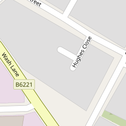
10 Wash Lane
£ 50,000
Description
We don't have a Description for this property.
- Bedrooms
- 1
- Bathrooms
- 0

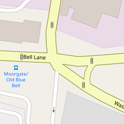
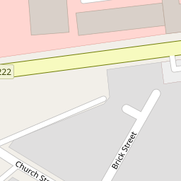
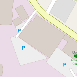

Leaflet © OpenStreetMap contributors
The heatmap indicates the level of crime in the area. The color of the heatmap indicates the crime severity and recency.
Metrics Year-on-Year
- Average area value
- 255,593.00 £Increased by 5.28 %
- Average area rental value
- 967.00 £/moDecreased by 2.22 %
- Est rental Yield
- 4.54 %Decreased by 7.16 %
- Crime Rate
- 0.00 %
from 242,775.00 £
from 989.00 £/mo
from 4.89 %
from 0.00 %
Nearby Schools
| Name | Type | Ofsted | Distance |
|---|---|---|---|
| St Thomas Church Of England Primary School | Academy Converter | 0.76 KM | |
| St Paul'S Church Of England Primary School, Bury | Voluntary Aided School | Requires improvement | 0.87 KM |
| St Marie'S Roman Catholic Primary School, Bury | Voluntary Aided School | Outstanding | 1.01 KM |
| Holy Trinity Primary School | Academy Sponsor Led | 1.11 KM | |
| St Joseph And St Bede Rc Primary School | Voluntary Aided School | Good | 1.11 KM |
Images
Nearby Streets
| Name | Average Price | Average Sqft | Distance |
|---|---|---|---|
| Bridge Street | £ 0 | 0 | 0.00 KM |
| Scholars Way | £ 100,000 | 0 | 0.00 KM |
| A58 | £ 163,750 | 0 | 0.00 KM |
| Parsonage Close | £ 100,000 | 0 | 0.00 KM |
| Saint John's Gardens | £ 0 | 0 | 0.00 KM |
Nearby Transport
| Name | NLC | TLC | Distance |
|---|---|---|---|
| Clifton (Manchester) | 2795 | CLI | 8.80 KM |
Nearby Listings
| Address | Price | Type | Score | Distance |
|---|---|---|---|---|
| Commercial Unit In Brook Street, Bury - Approx 1,665 Sq Ft | £ 80,000 | BUY | Unknown | 0.14 KM |
| Unit In Brook Street, Bury - Approx 2,000 Sq Ft | £ 75,000 | BUY | Unknown | 0.14 KM |
| Brick Street, Bury | £ 160,000 | BUY | 6 / 10 | 0.25 KM |
| Bridge St, Bury | £ 995,000 | BUY | 5 / 10 | 0.34 KM |
| Walmersley Road, Bury | £ 90,000 | BUY | 5 / 10 | 0.36 KM |
Nearby Properties
| Address | Price | Distance |
|---|---|---|
| 10 Wash Lane | £ 50,000 | 0.00 KM |
| 4 Wash Lane | £ 75,000 | 0.00 KM |
| 8 - 10 Wash Lane | £ 217,000 | 0.00 KM |
| 126 York Street | £ 88,000 | 0.03 KM |
| 128 York Street | £ 15,920 | 0.03 KM |